Back in the Saddle
After a month back in Seattle it was time to get back on the road. Kelly had manuscripts to write and classes to teach. I had itchy feet. This time it was a motorcycle ride to my daughter’s house in Wisconsin with a minor detour to Arizona on the way. Bill, a longtime friend and fellow retired geologist accompanied me from Seattle to Florence, AZ. Of course I would be riding my faithful stead Blue Lightening once again. Blue Lightening is a 2016 BMW R1200RT who had just over 10,000 miles on her when I bought her in September, 2024. By the end of this trip the odometer will have ticked over 30,000 miles.
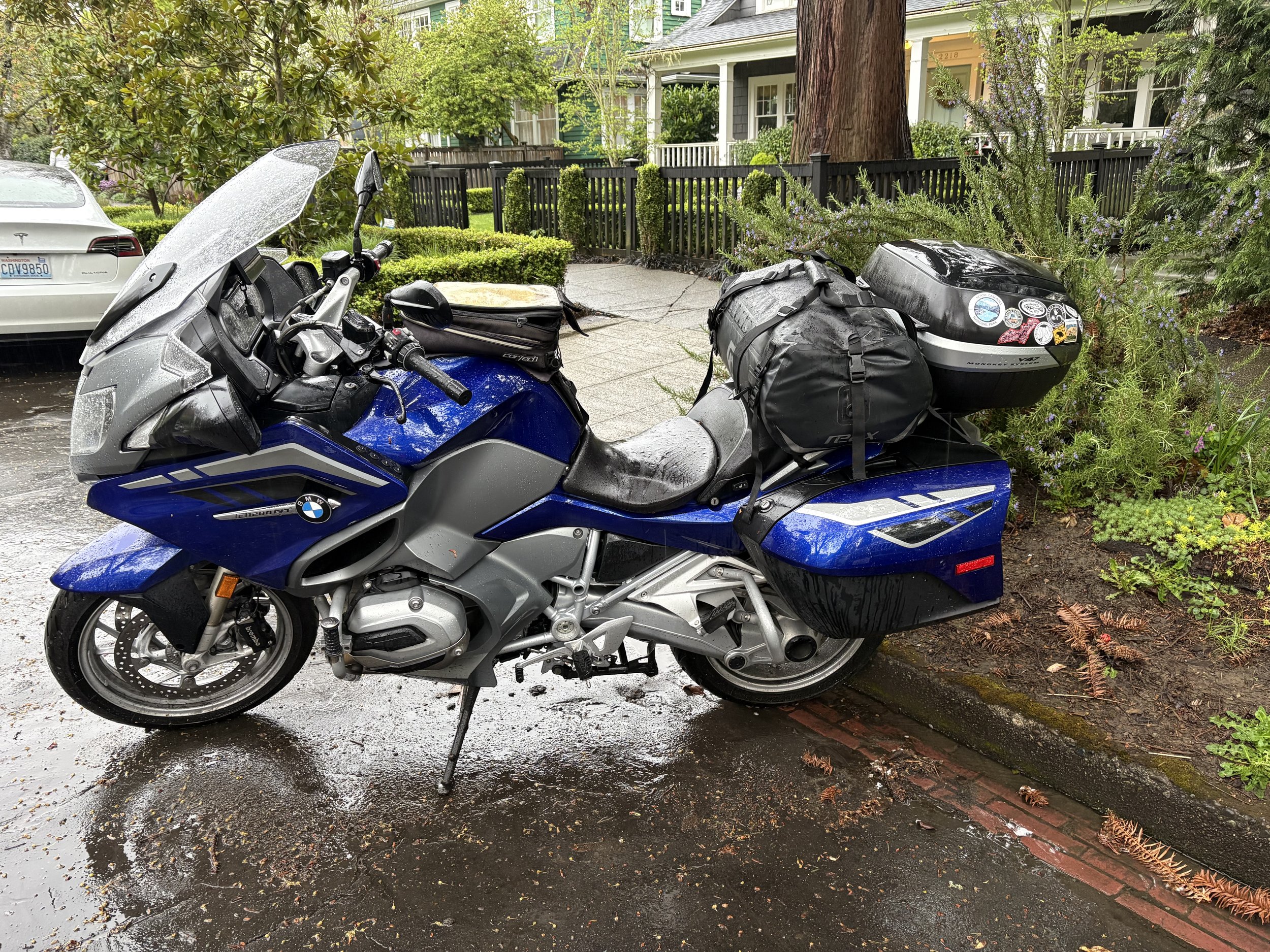
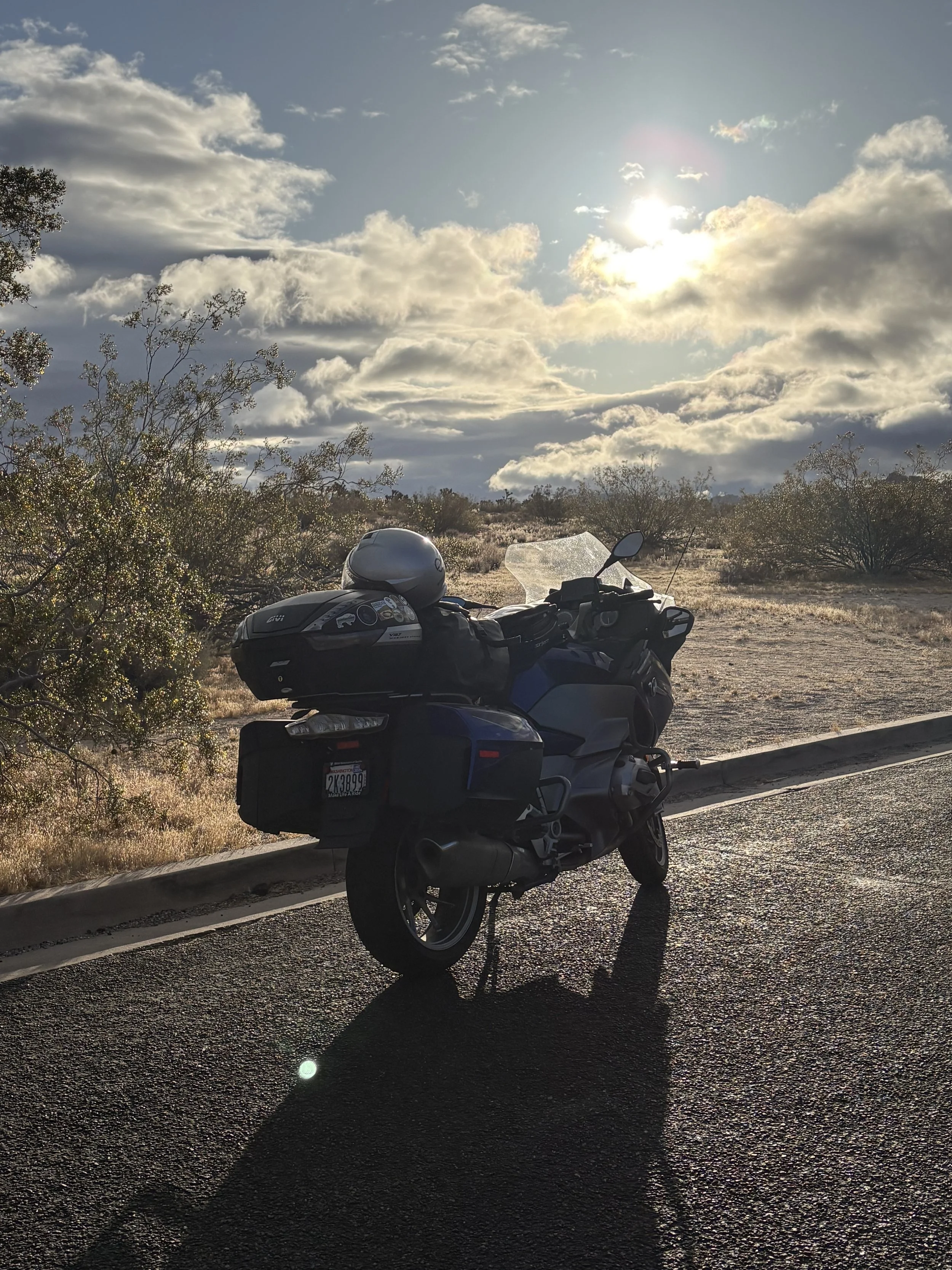
Blue Lightening ready for the journey.
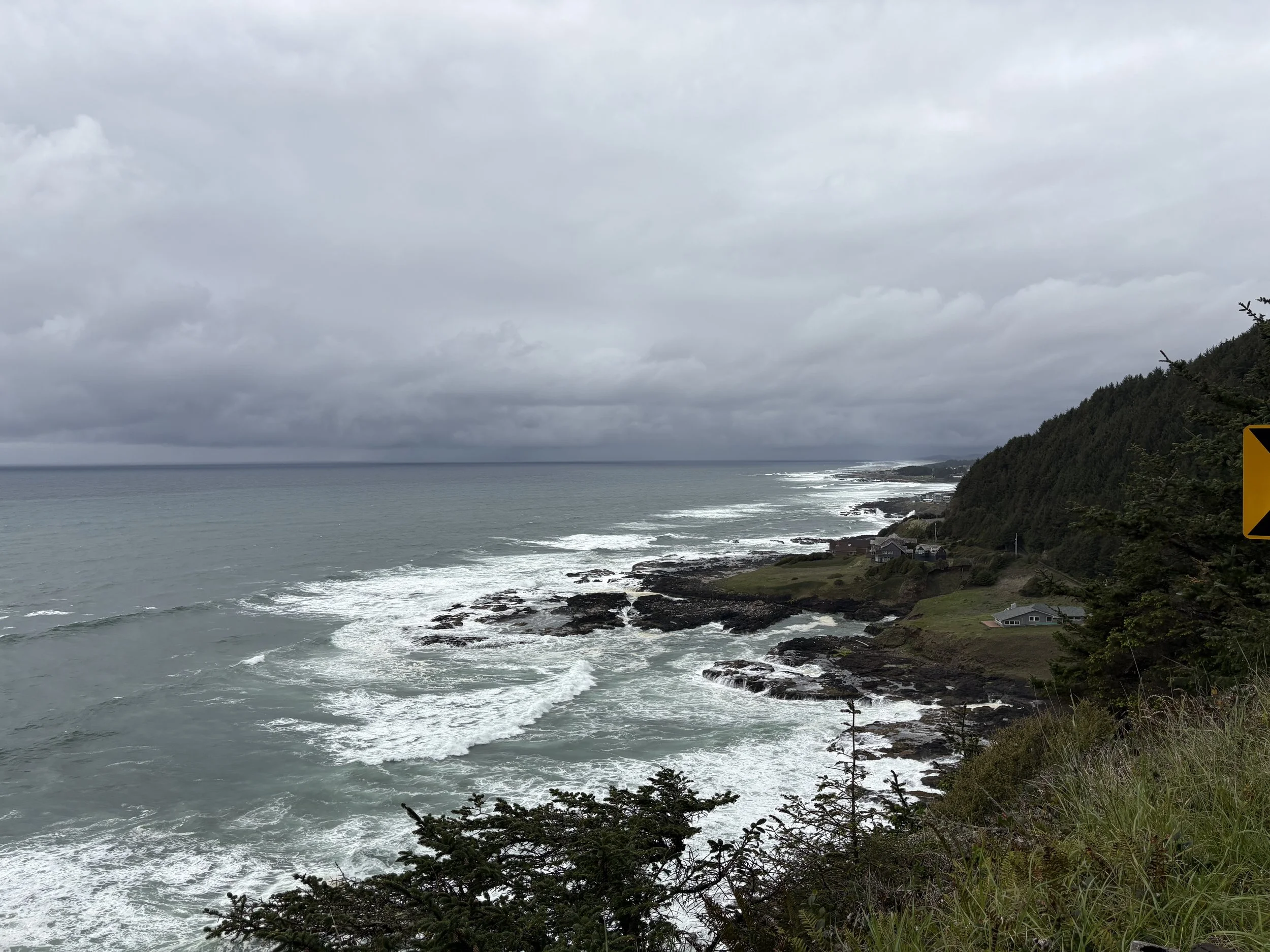
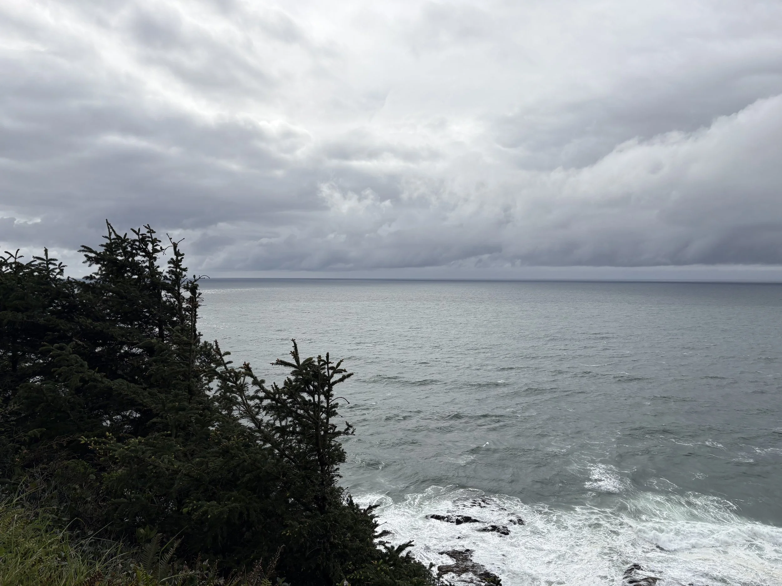
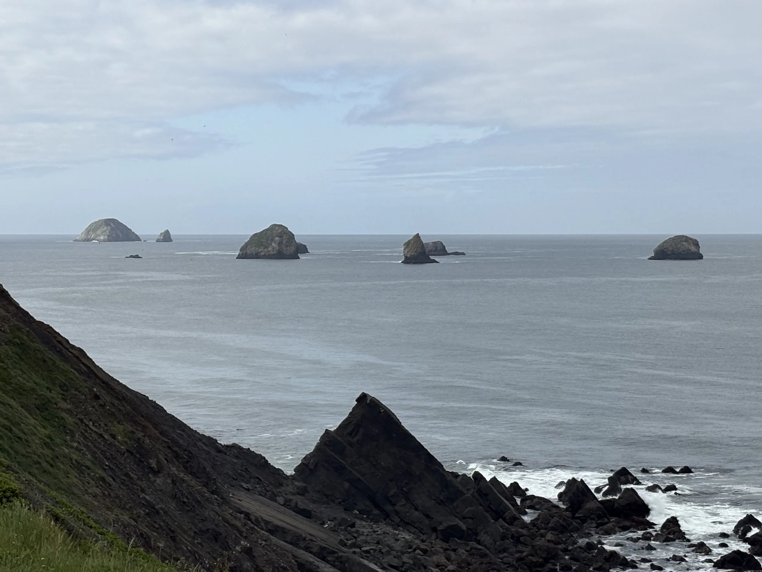
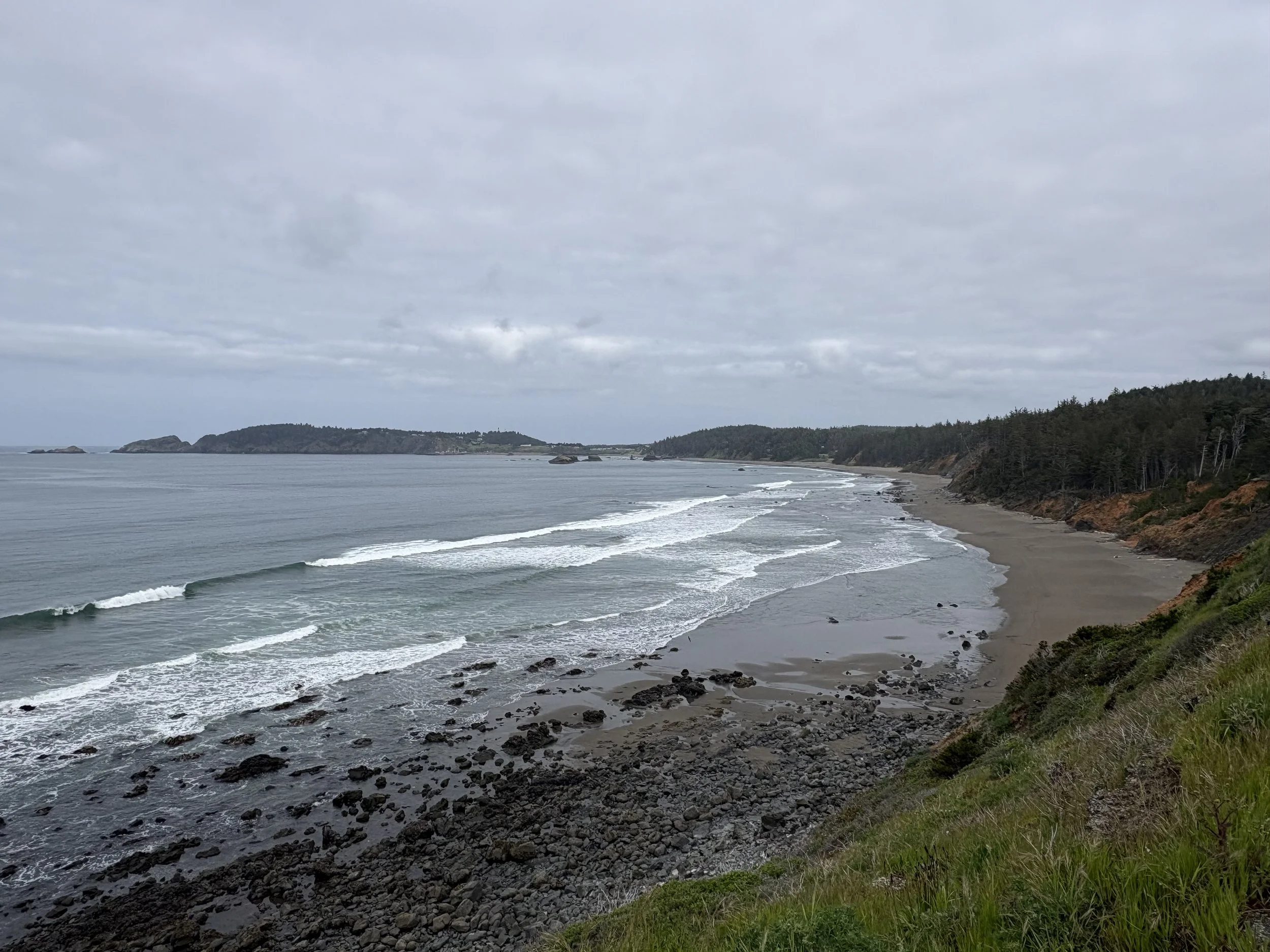
Bill and I started out on a rainy Wednesday (April 22) from Seattle. We stayed on I-5 through Olympia before finally heading towards the Washington section of the pacific coast (although we didn’t actually get to the coast). We crossed into Oregon on a fantastic bridge crossing the Columbia River which dumps you into the home of the Goonies (Astoria, OR). We opted to not visit the home of the Goonies but continued on until we reached Florence, OR. The total distance traveled was 374 miles with all of it in the rain. I discovered my 20 year old rain pants were no longer entirely waterproof. Photos below are a couple of shots of the coast during one of our brief weather breaks.
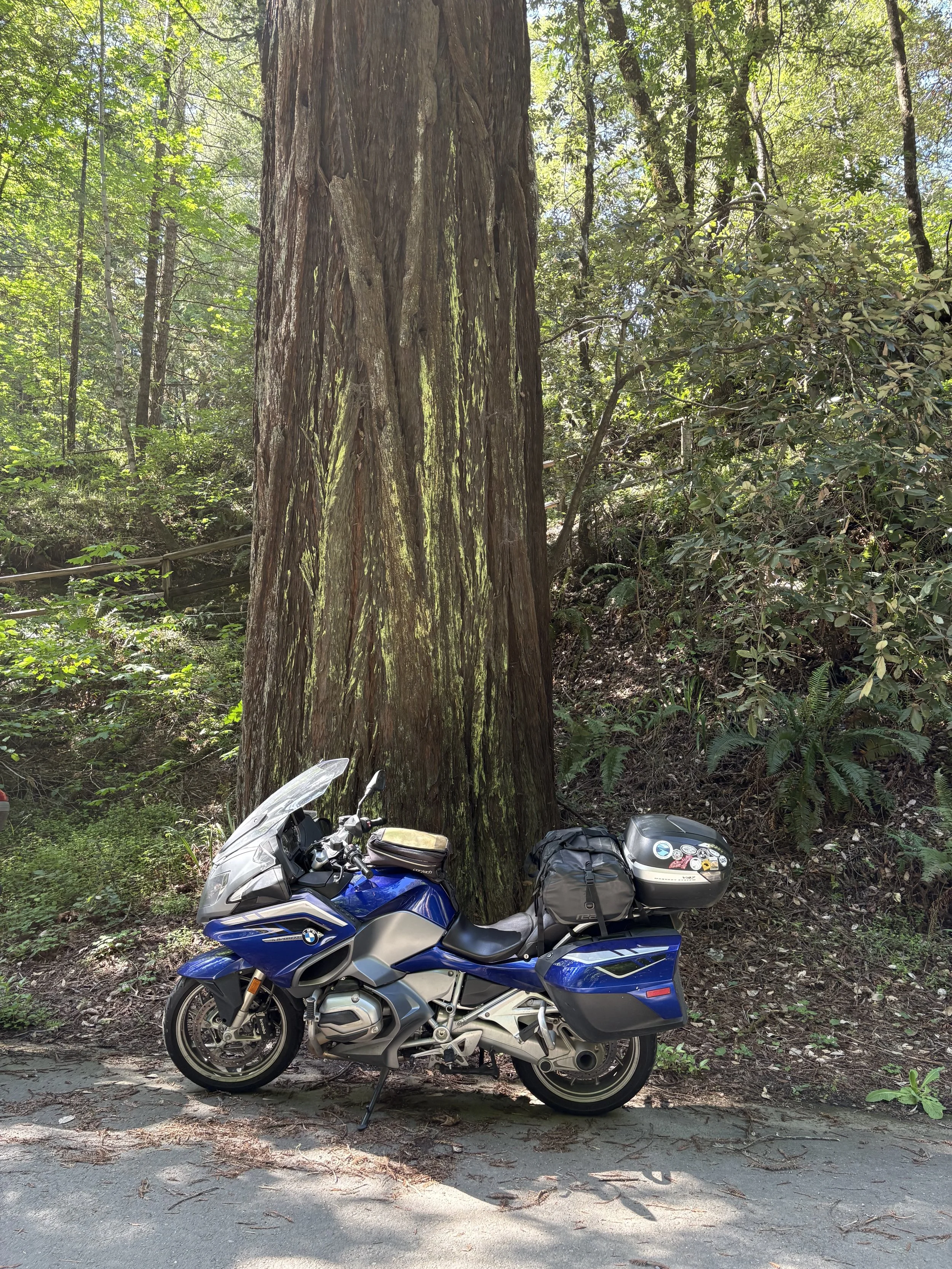
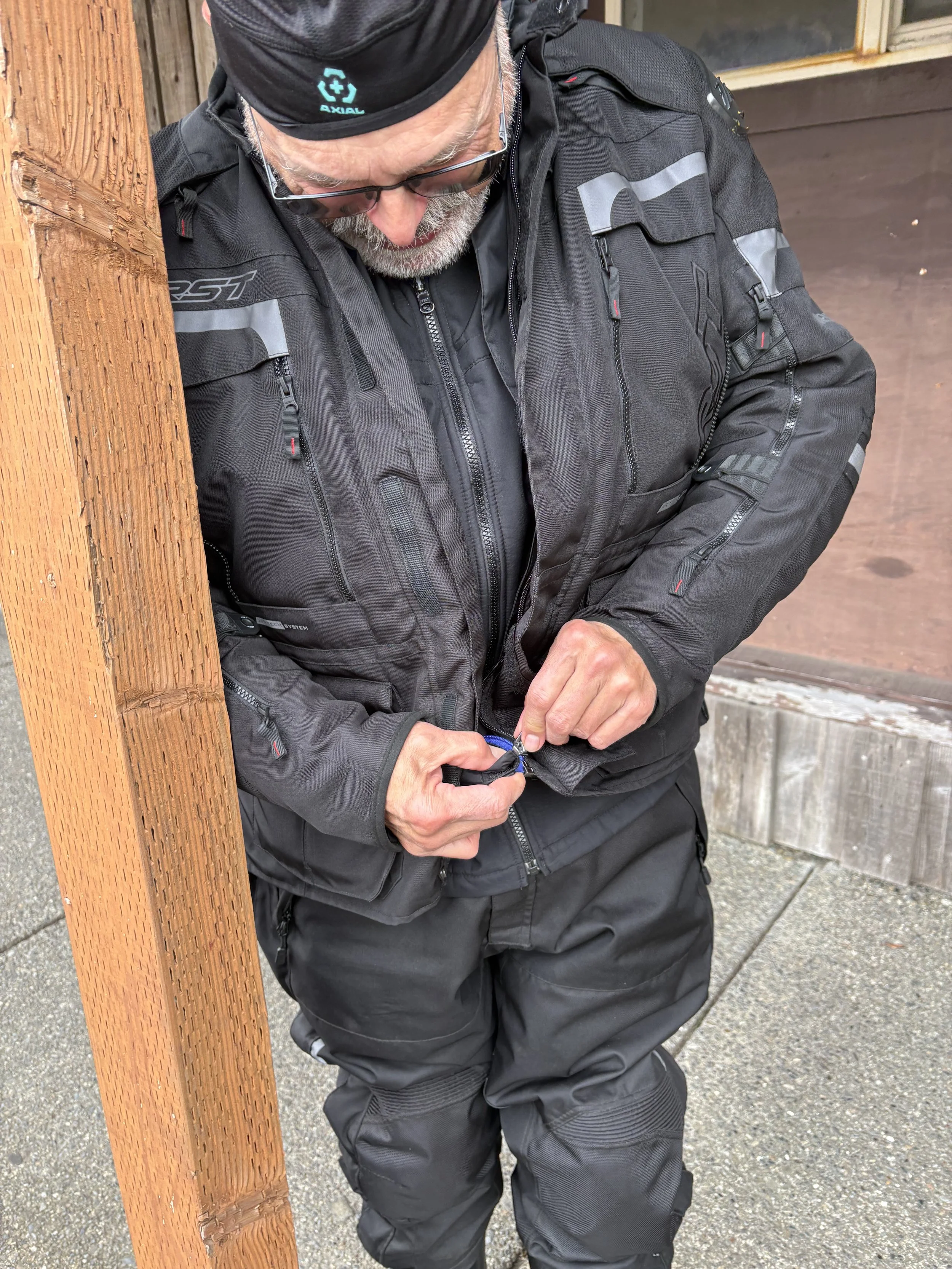
Day 2 of the ride started out blissfully dry and remained that way. It was dark and cloudy until we got south of Eureka, California but we were happy to have it. We continued following highway 101 much of the day before eventually jumping over to highway 1 in Legett, CA. The ride from highway 101 to the coast was amazing and brutal at the same time – incredibly twisty with limited visibility around corners. It was actually a pleasure to get out of the real twistys by the time we hit the cost. We finished the day in Fort Bragg, CA with 405 miles under our belts and a trip total of 779 miles. Photos are of Blue Lightening in front of a redwood, Bill getting his ass kicked by his zipper, a couple of the California coast, and one of the Northern California interior.
We started day 3 early and with the best weather yet. Shortly after getting underway, we took a short detour to the Point Arena lighthouse. Unfortunately it didn’t open until 10 AM and we weren’t going to wait around for it to open. This is, apparently, the tallest lighthouse on the California coast at 115 feet tall (photo below).
We continued following highway 1 along the coast until shortly after Bodega Bay when we cut back onto highway 101. The coast was beautiful but the ride was slow going and required a lot of concentration given the high number of blind corners and small towns. Given the slow progress we opted to bypass San Francisco. The trip through Oakland and south didn’t feel any faster and we ultimately called it a day in Gilroy, CA (garlic capital of the world). We only covered 259 miles today but it felt longer!
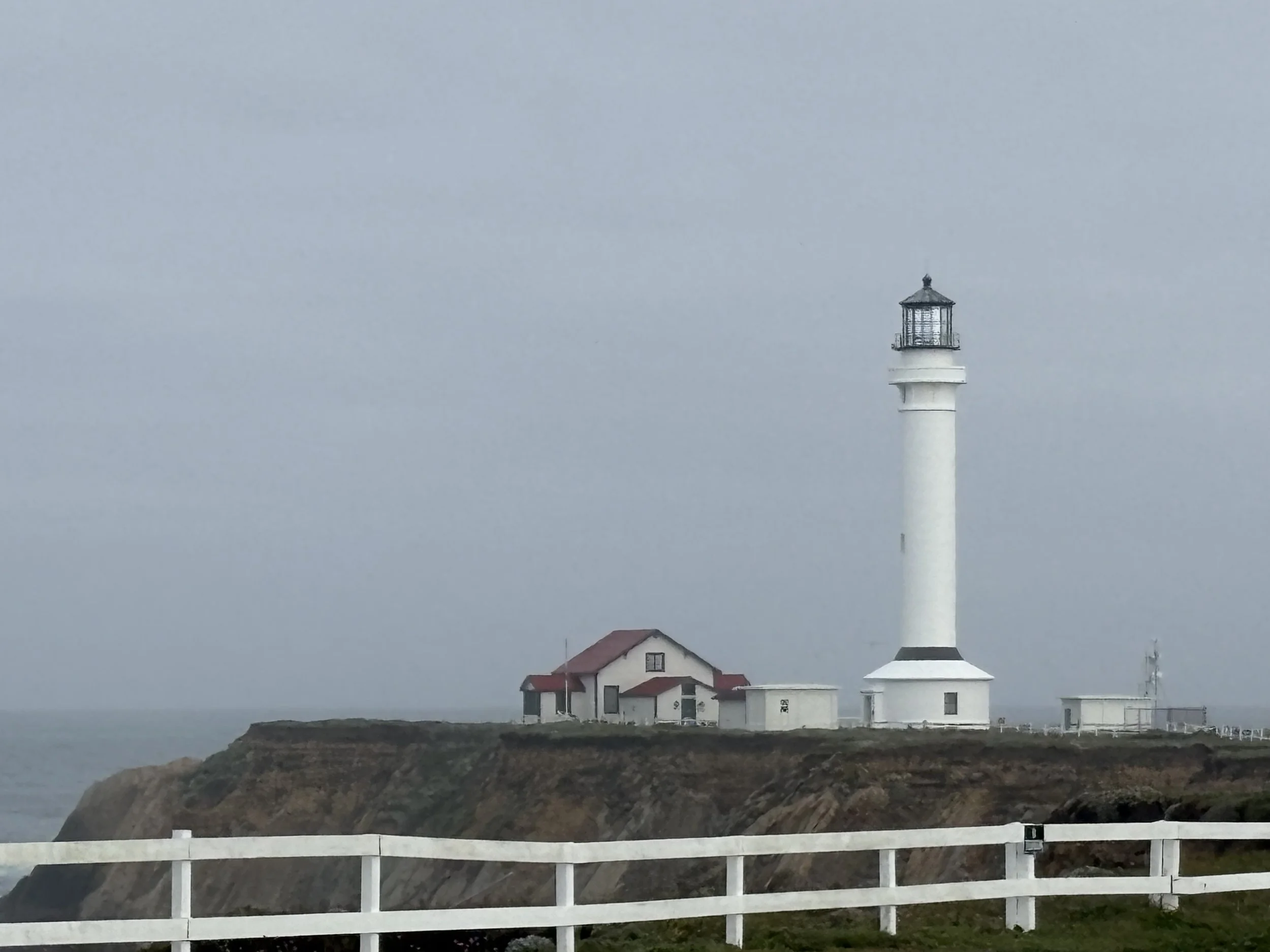
Point Arena Lighthouse
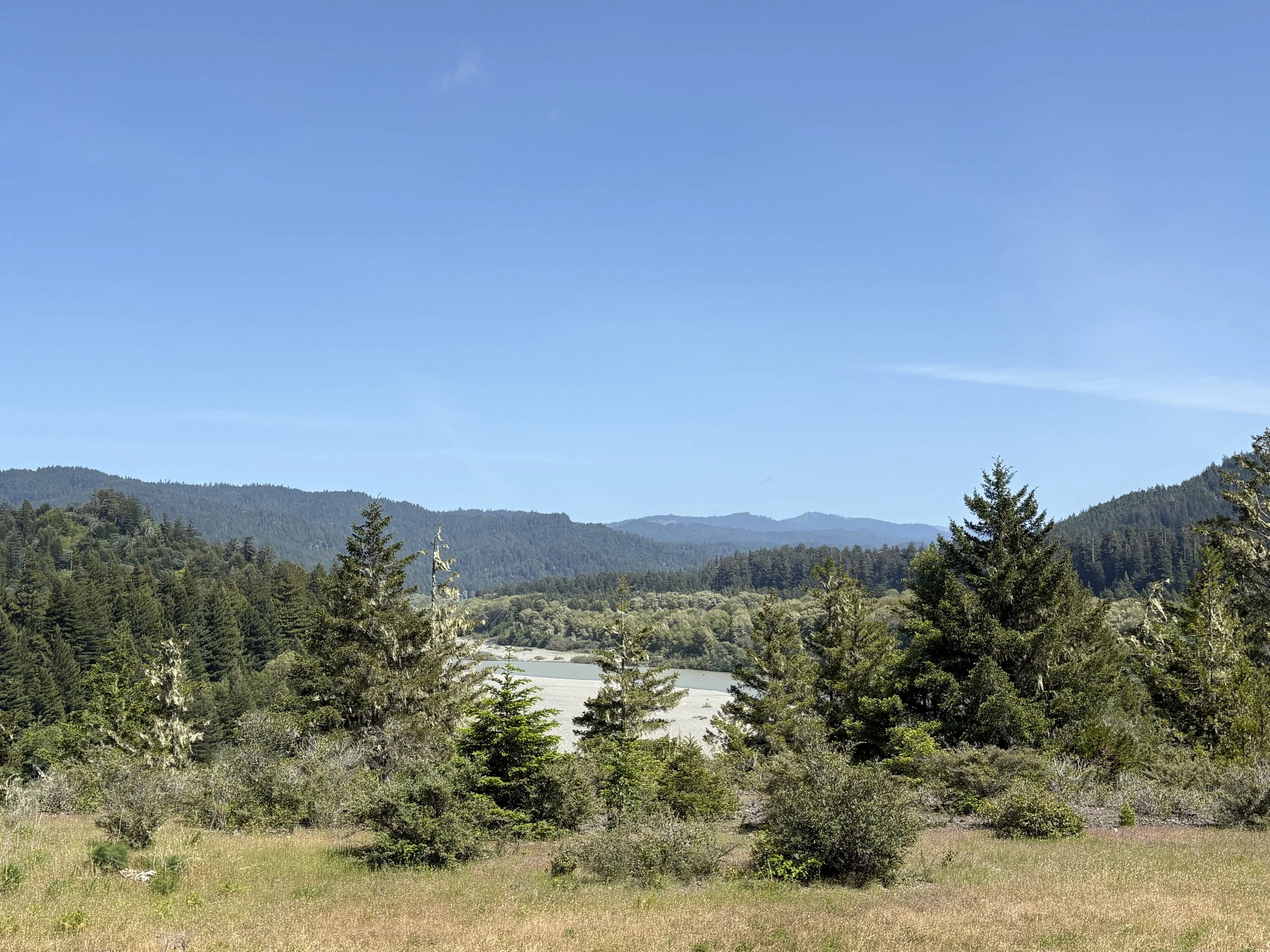
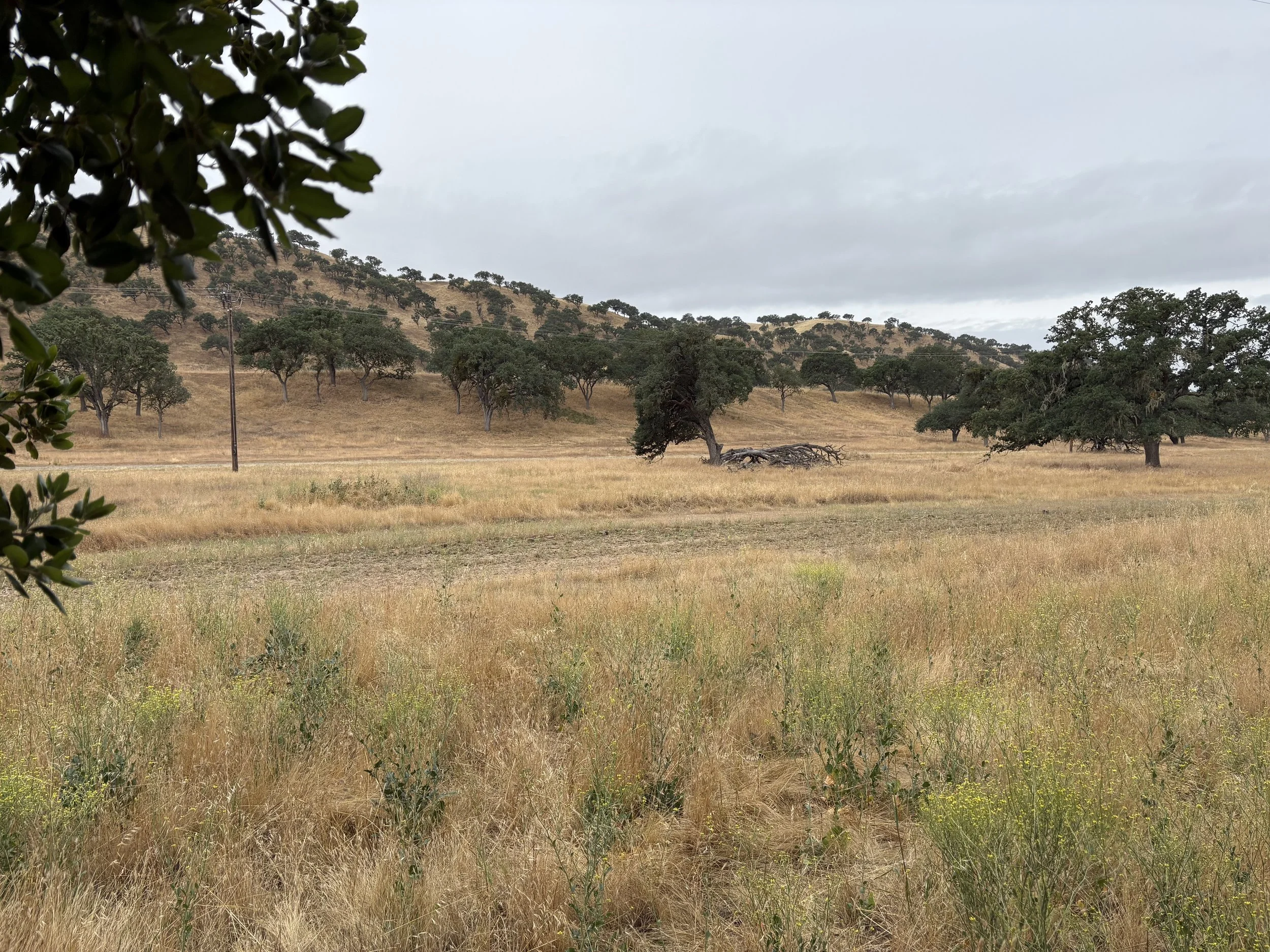
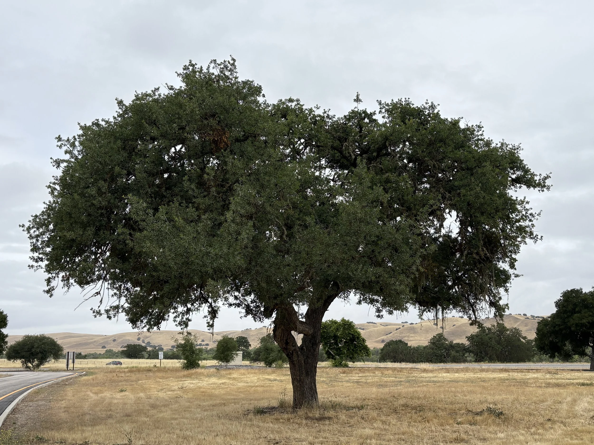
We started day 4 feeling like we were behind schedule so we decided to stay on the interstate (I-5) until just north of Bakersfield. We worked our way through backroads to Bakersfield and then hoped on highway 58 to Barstow before dropping down to Yucca Valley, CA for the night. The weather was dry but overcast all day and extremely windy east of Bakersfield. The scenery was good much of the day with open oak forests and fields much of the way. One stretch of 2 lane roads was amazing in that you could get your stomach to turn over on some of the whoops. And no admission ticket necessary for the ride. Miles covered for the day were 449 with a trip total of 1,489 miles. A couple examples of the oak forests are below.
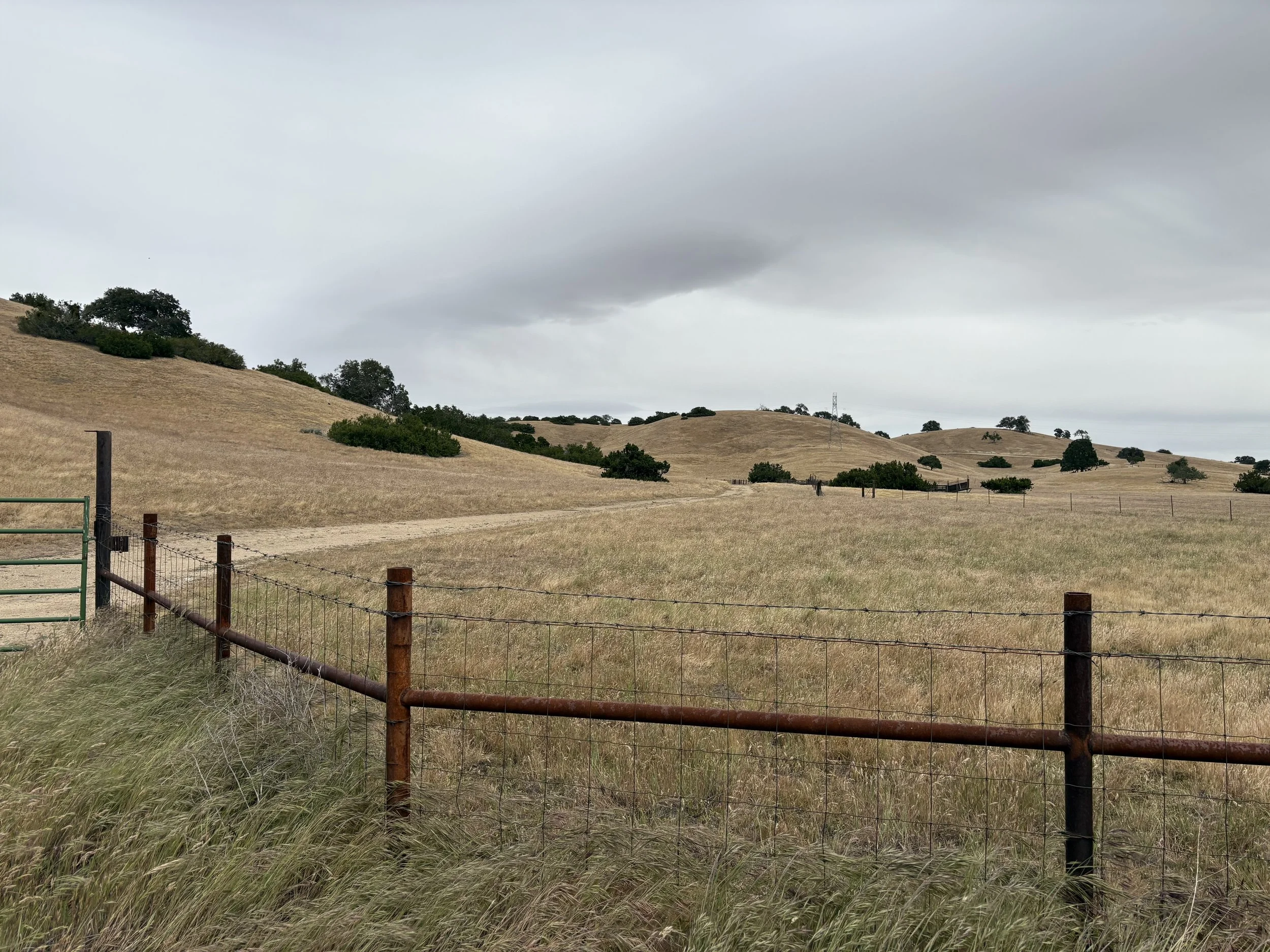
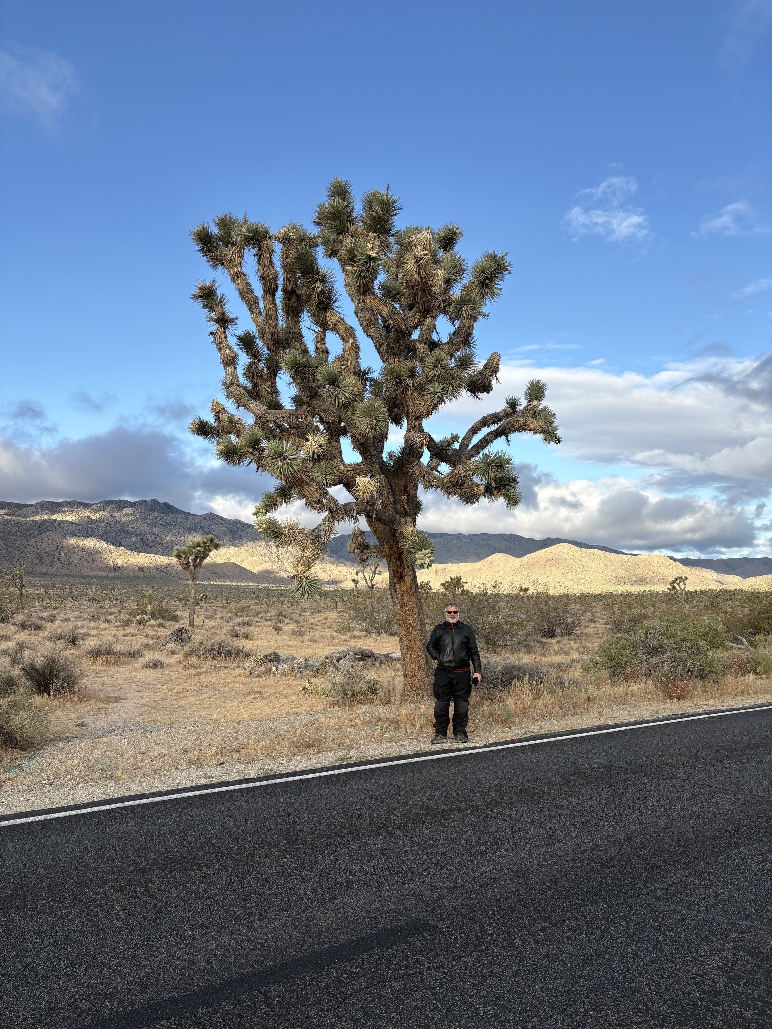
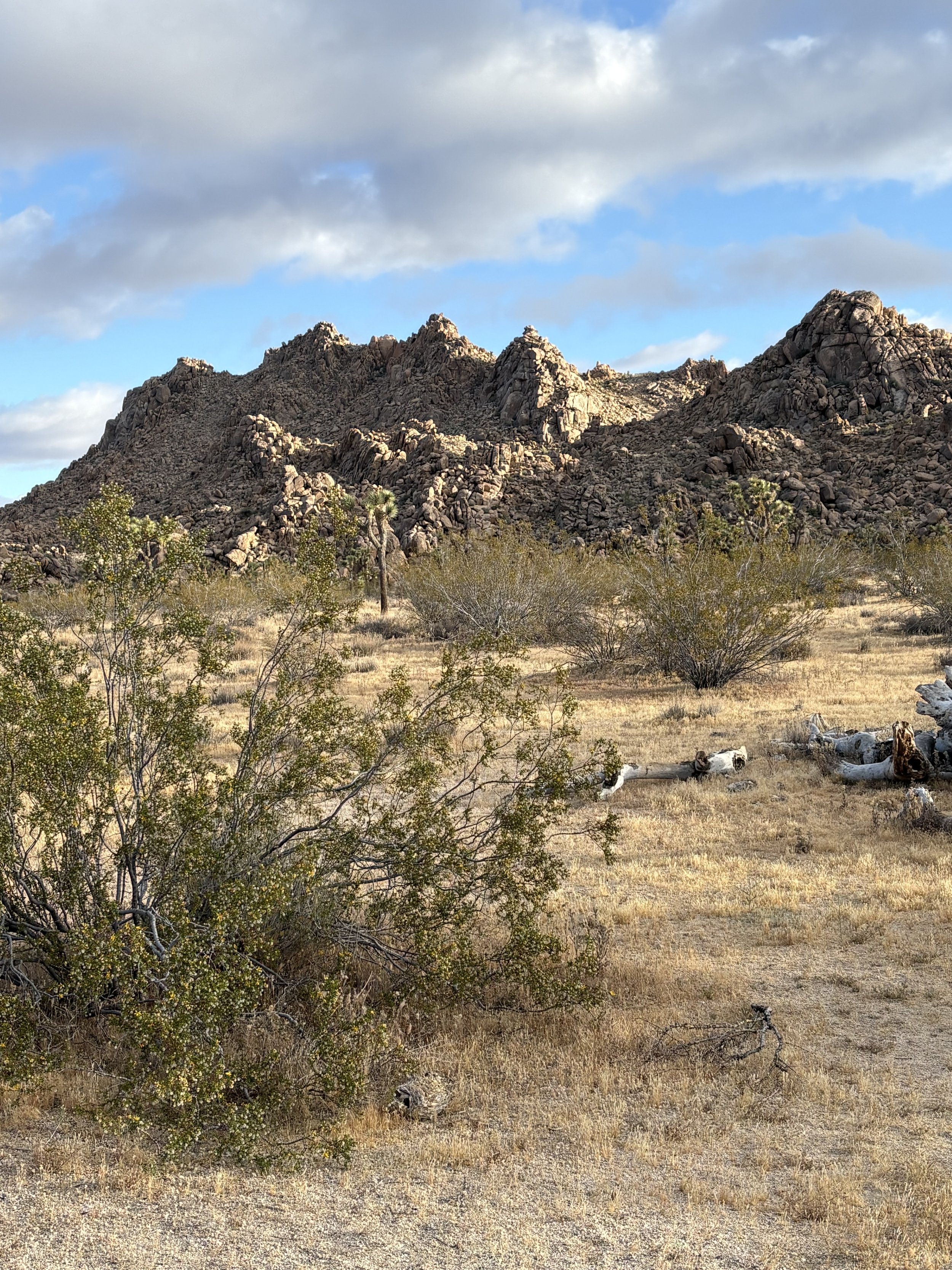
Day 5 started with a “short cut” through Joshua Tree National Park. Thanks to our current administration, the gates weren’t staffed so it would have been a free trip a national park. Both Bill and I have lifetime passes so it wouldn’t have mattered to us but there were plenty of others in the park and I’m guessing not all of them were paying customers.
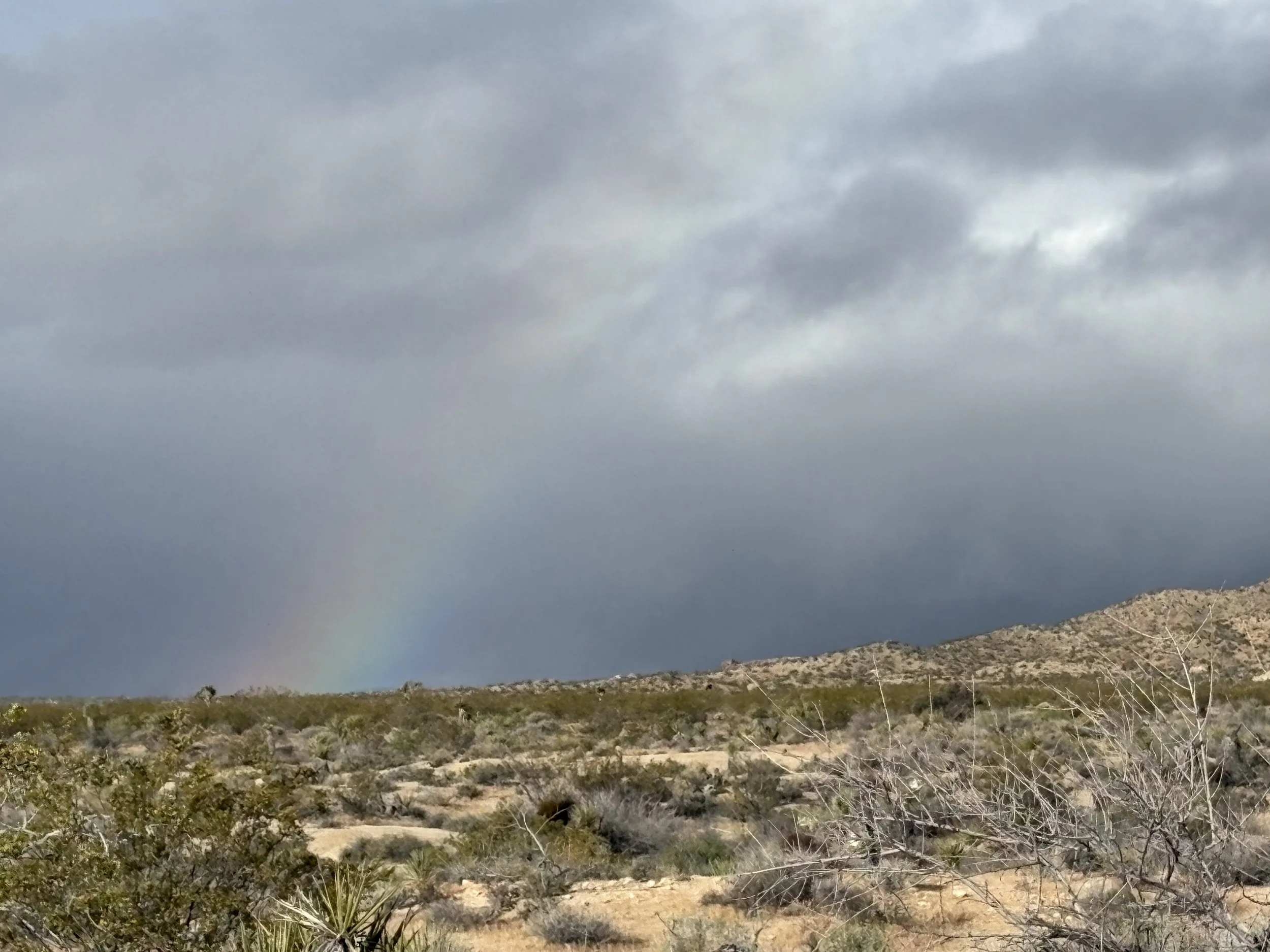
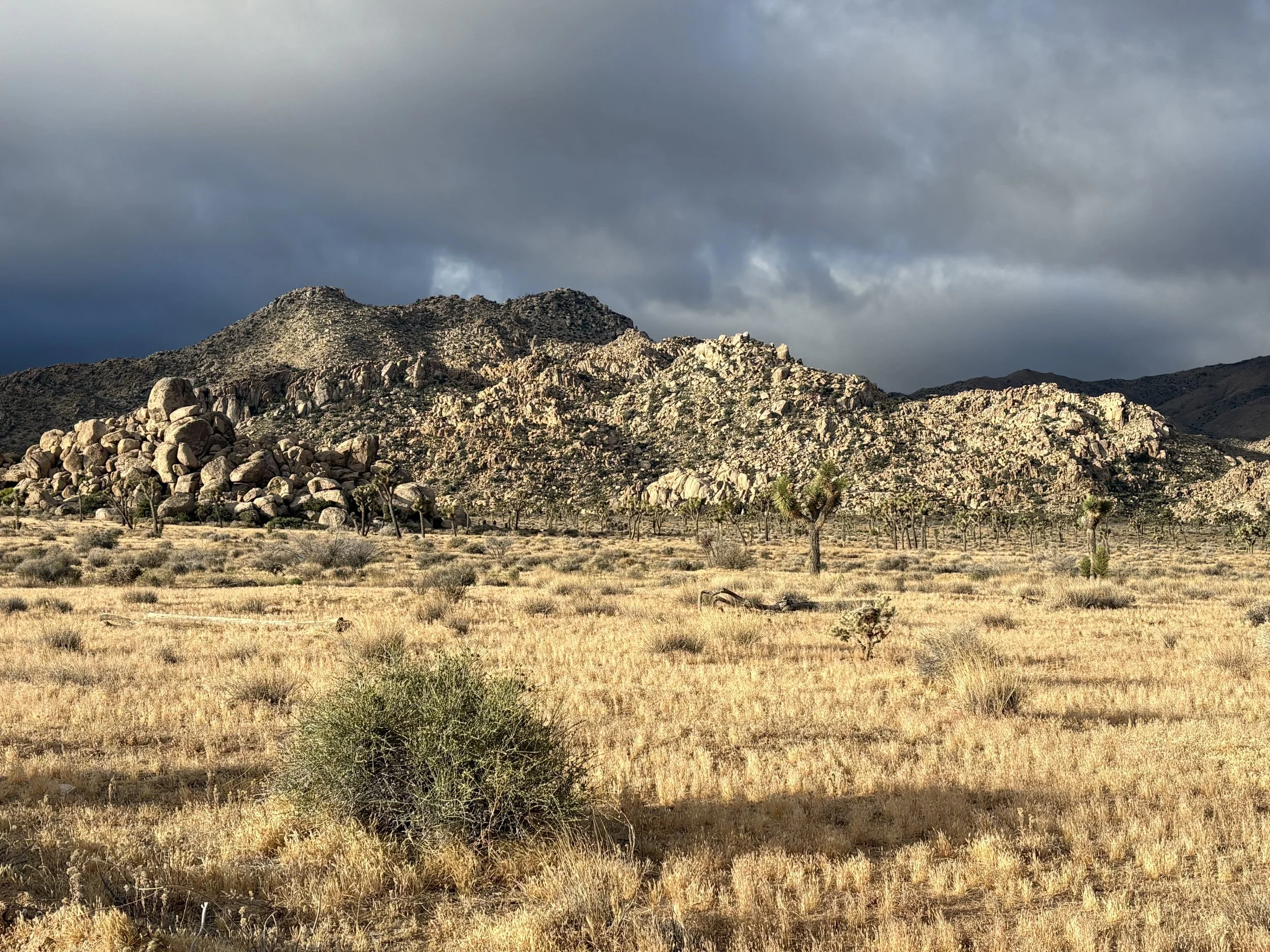
Bill and I entered the park in the west end of the park and exited out the southern part of the park. The northwest part of the park is absolutely gorgeous. Lots Joshua trees and plutonic rocks (photos below). The rainbow was absolutely stunning about 5 seconds before I took that picture.
We finished the day at our friend Larry’s house in Florence, AZ. Total miles for the day was 351 with a trip total of 1,840 miles. Photo is Larry (right) and Bill (left).
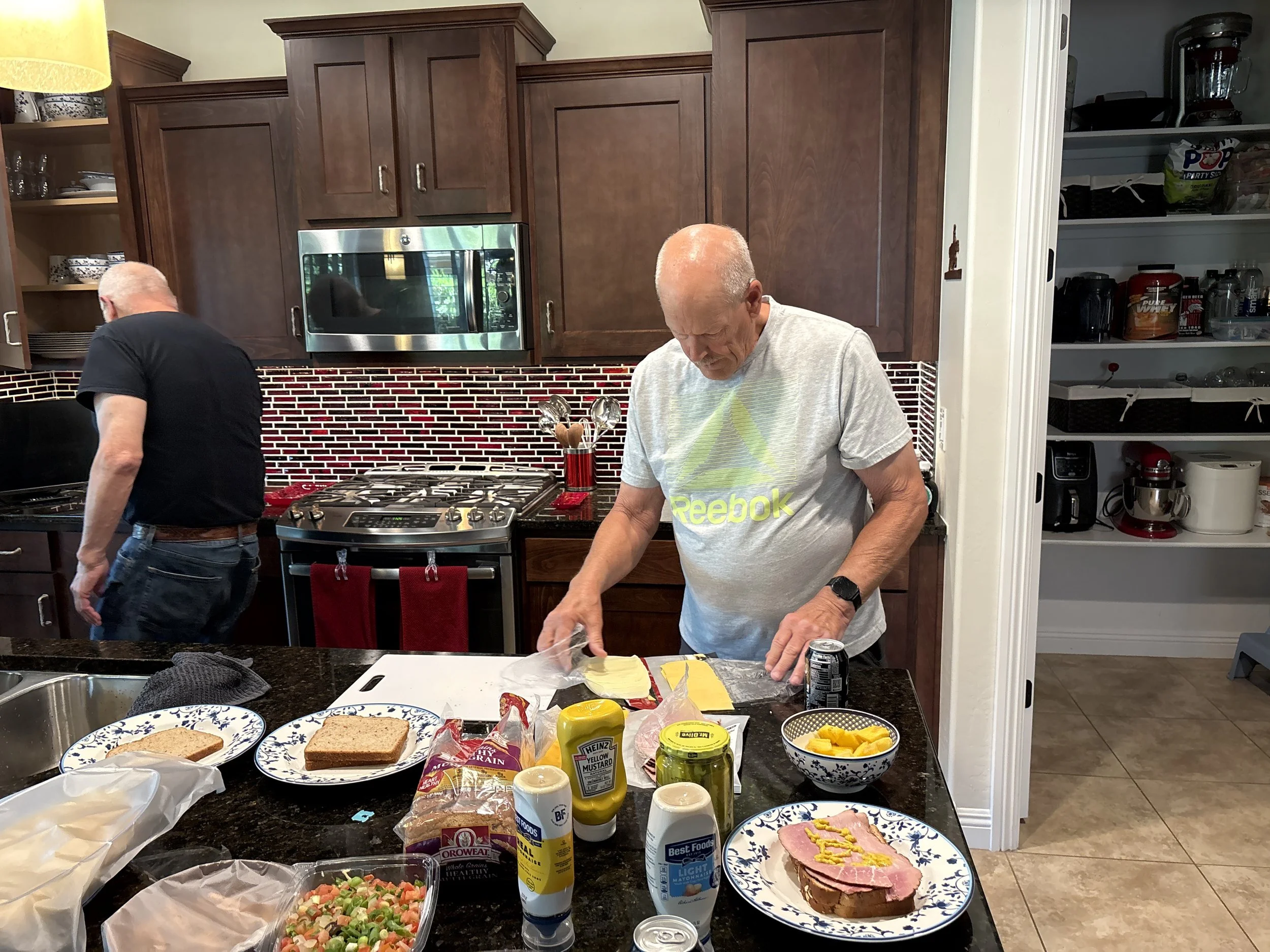
Larry making sandwiches.
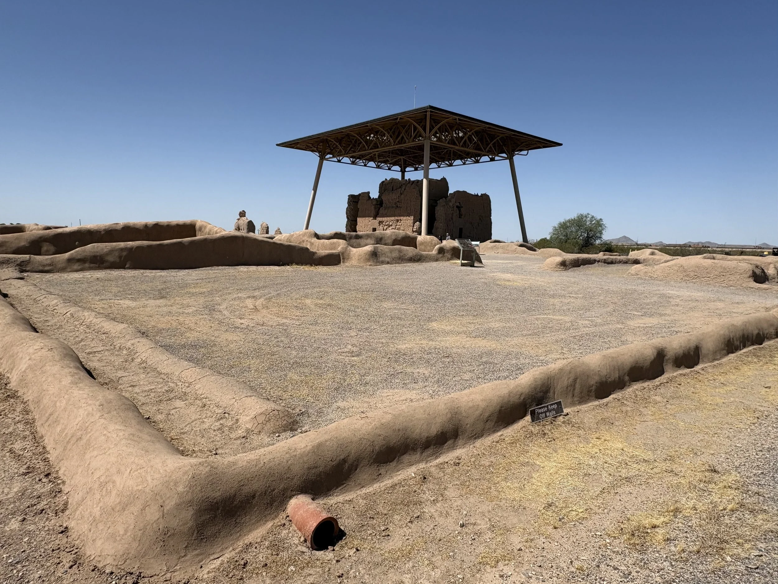
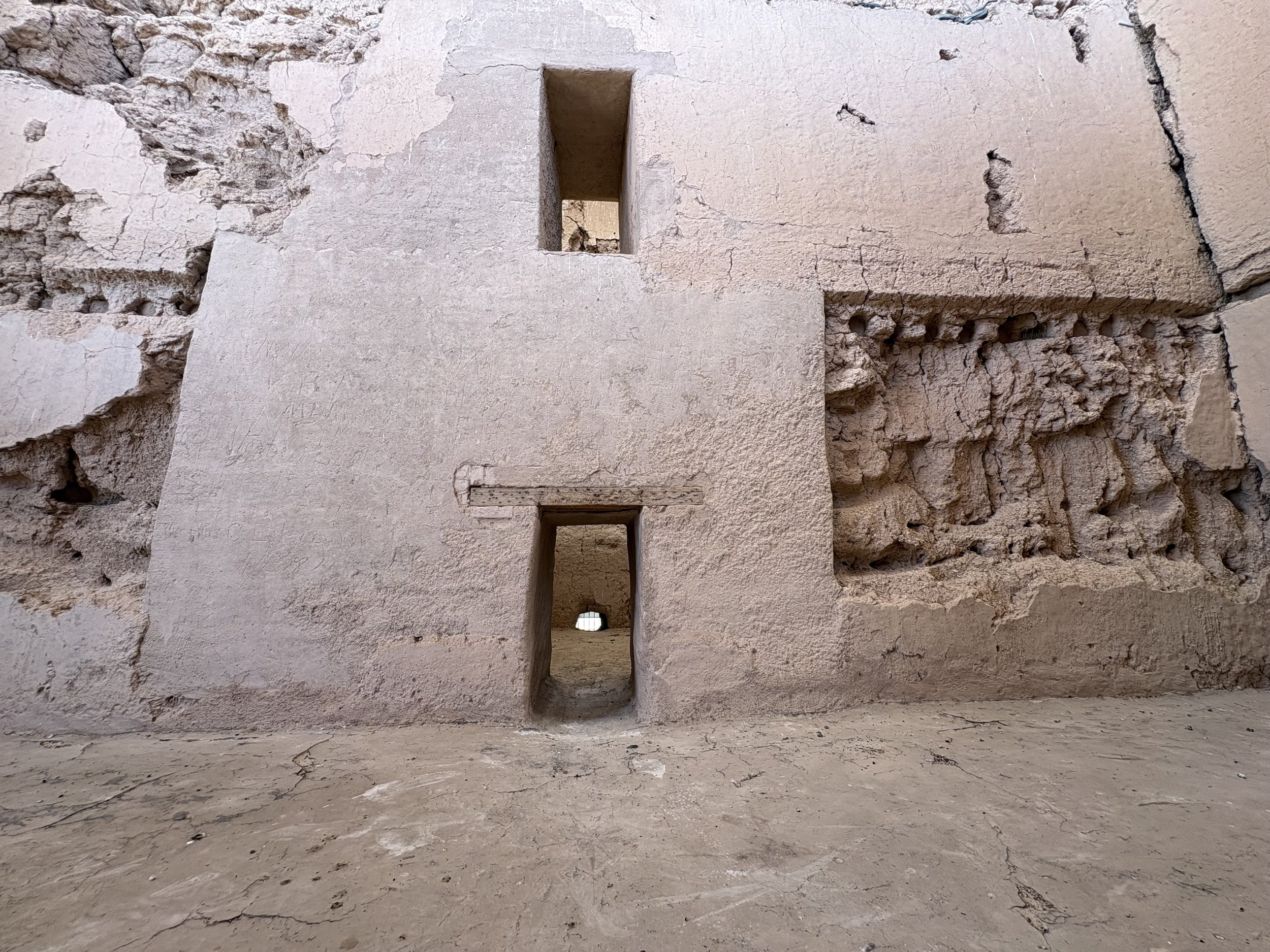
Day 6 was a down day with respect to riding but a great day catching up with Larry. It had been several years since I had last seen him with a lot of ground to cover. During the day we took in the Casa Grande National Monument which is actually close to his house. The site was built by the ancestral Sonoran Desert people and is the largest prehistoric structure in the area. It’s not entirely sure what the structure was intended for but the site was a center of trade and farming until around 1,500 AD. A few photos are below.
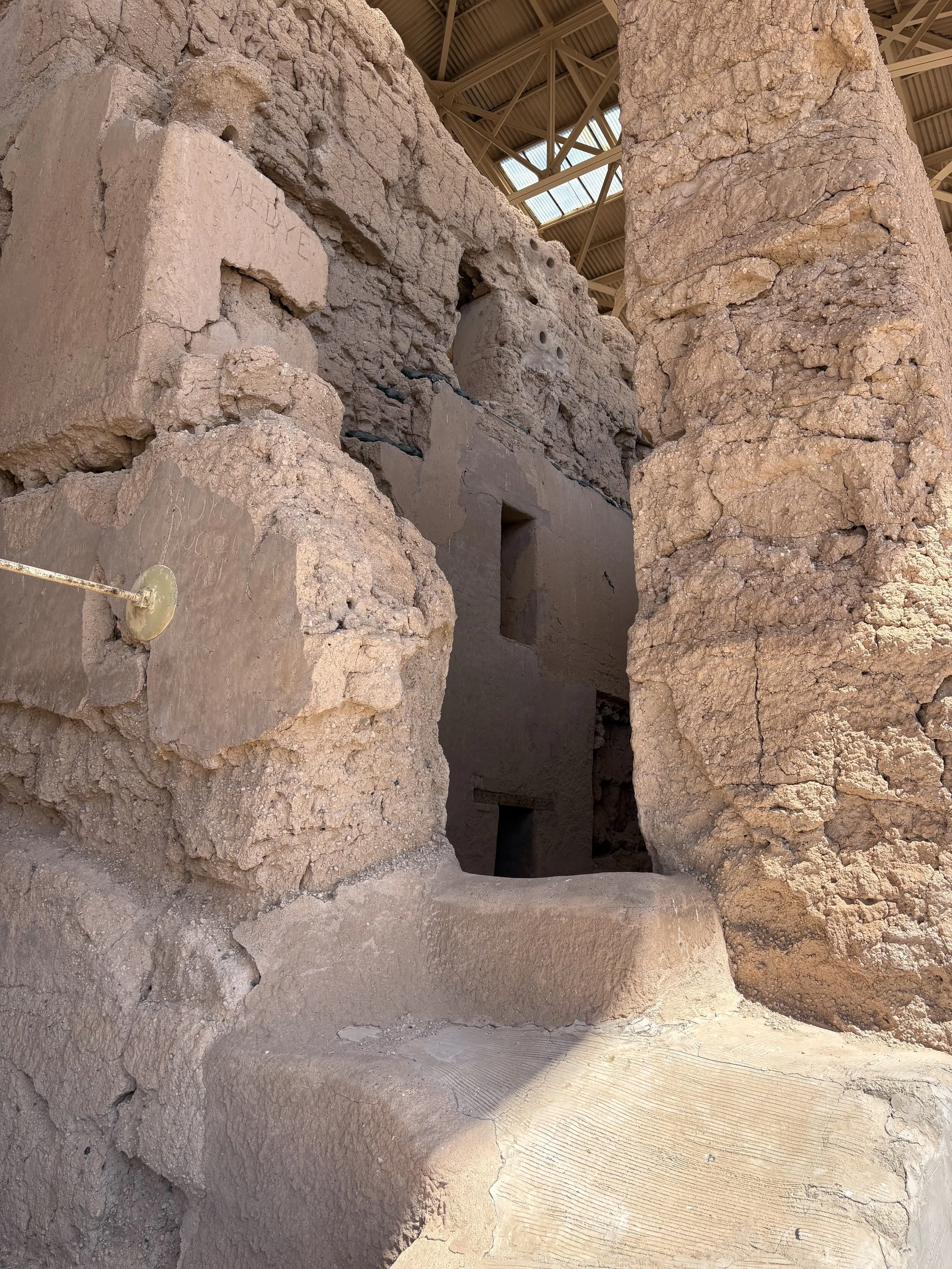
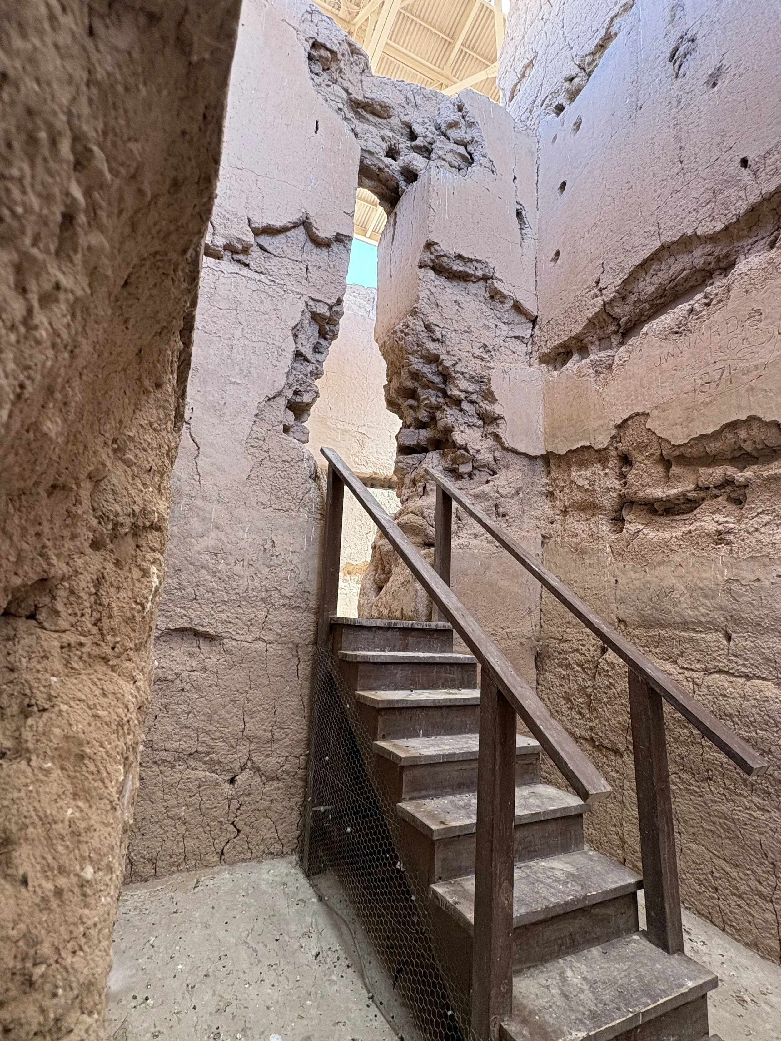
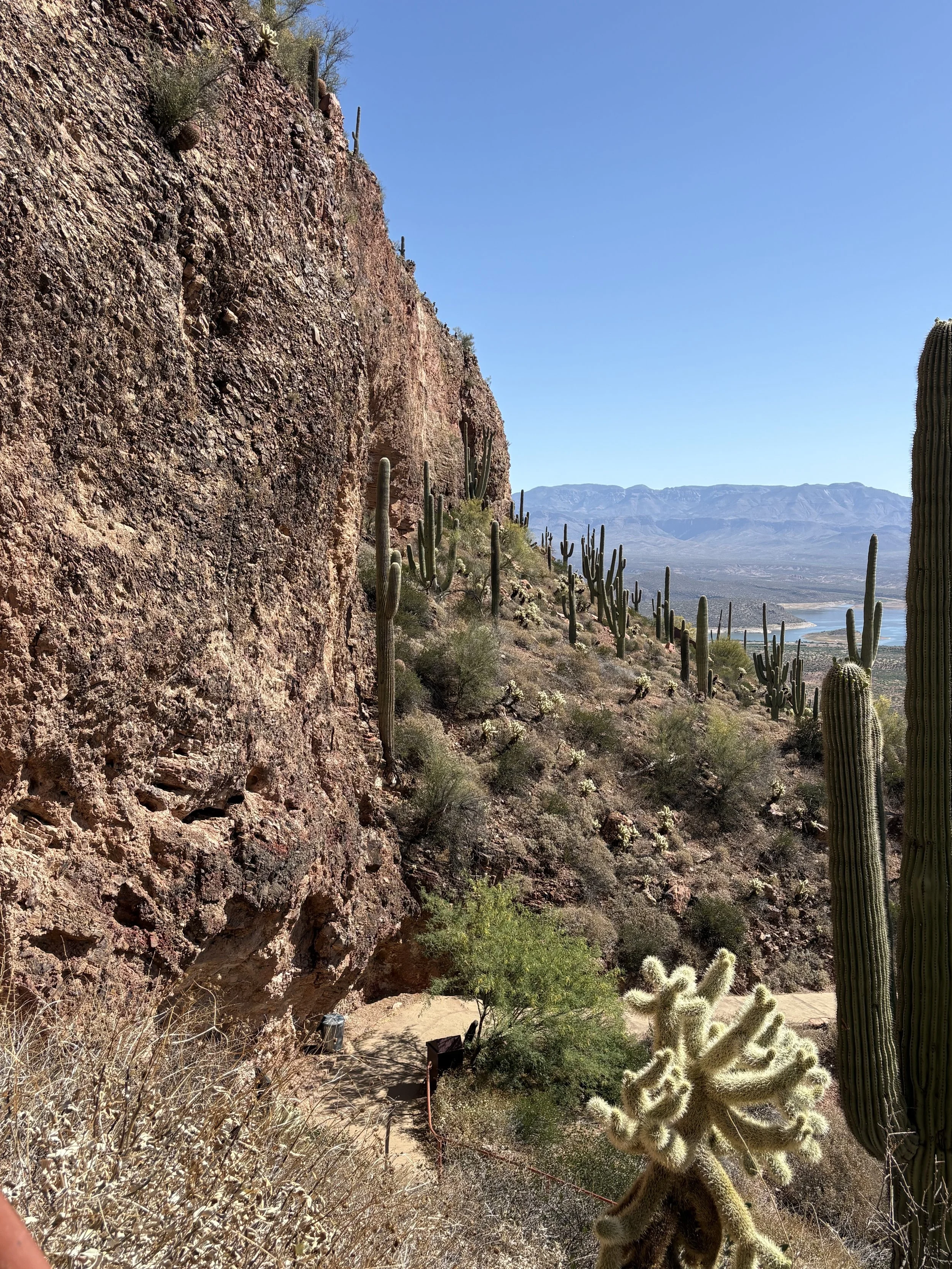
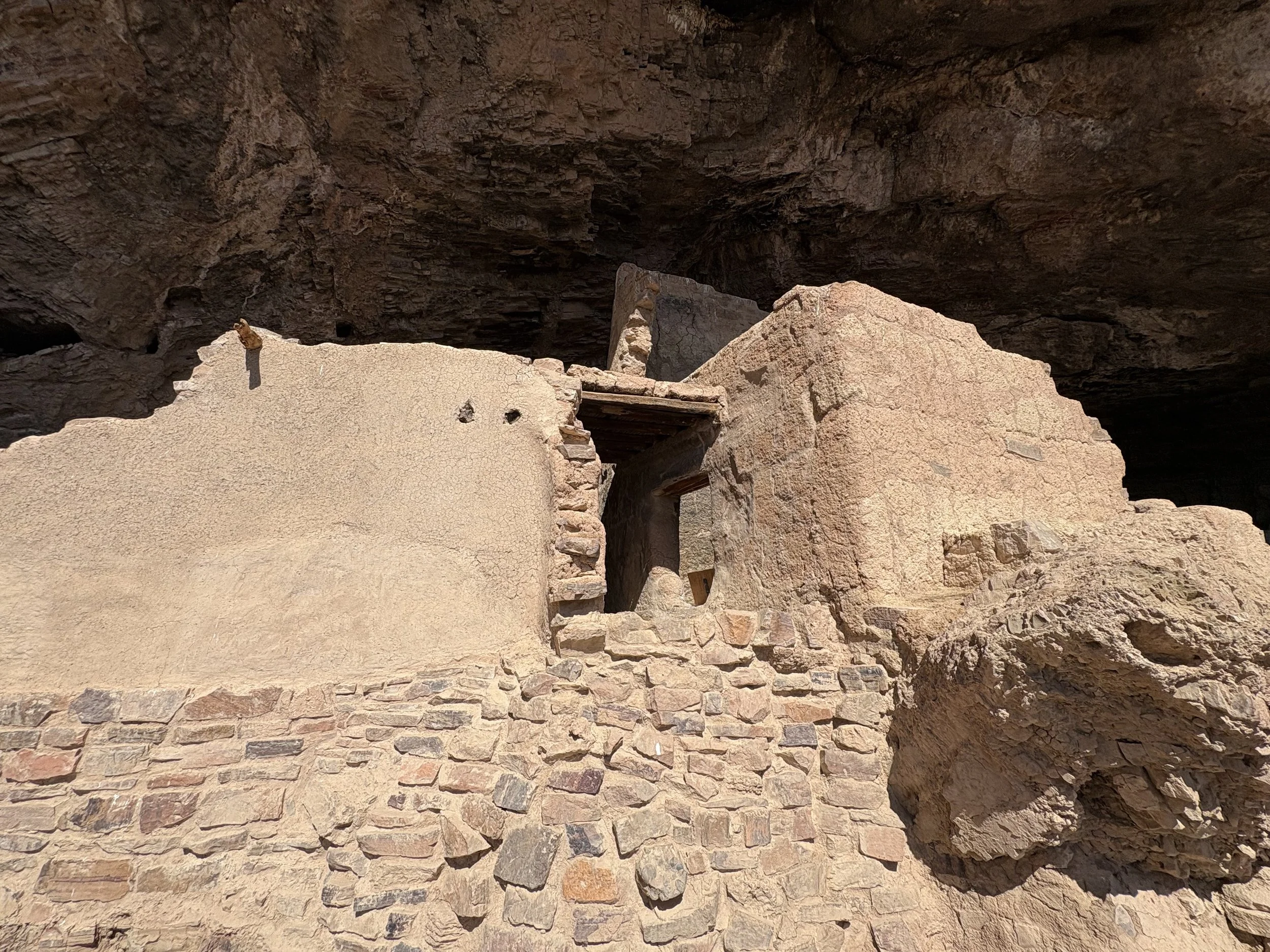
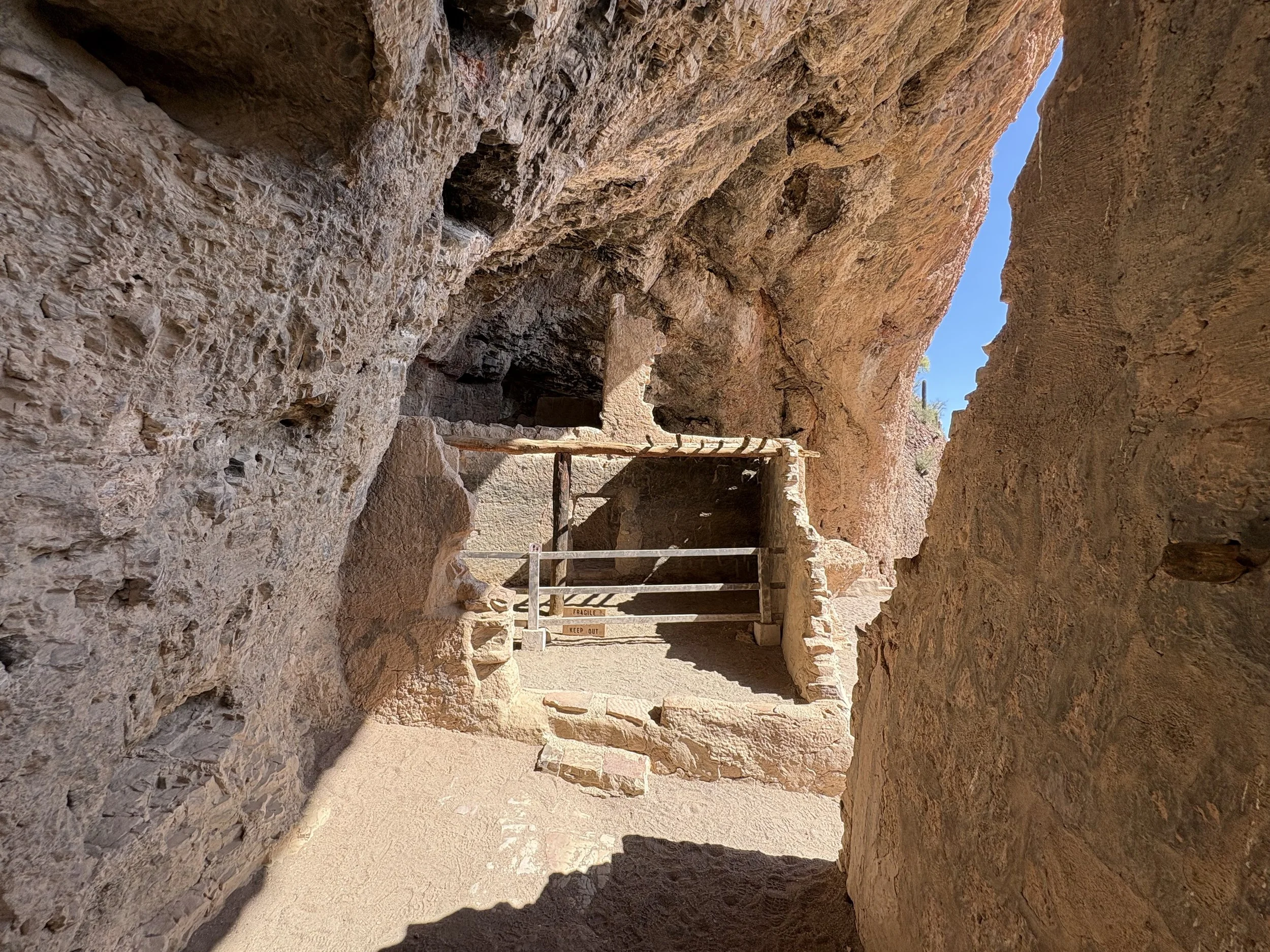
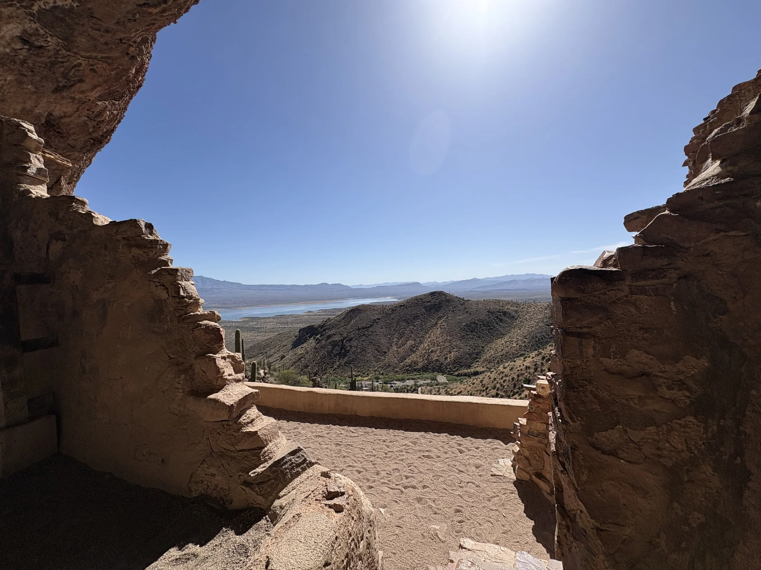
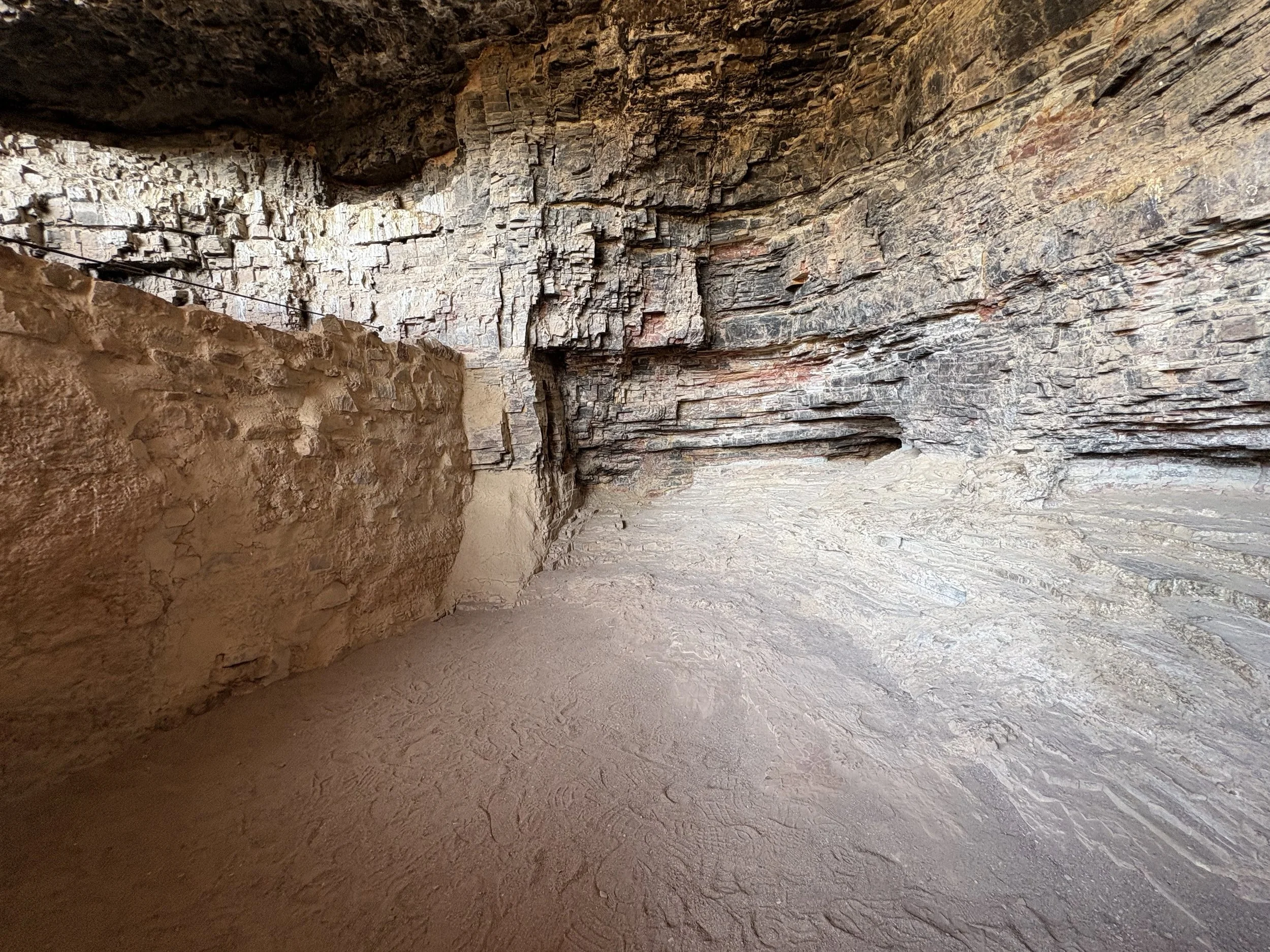
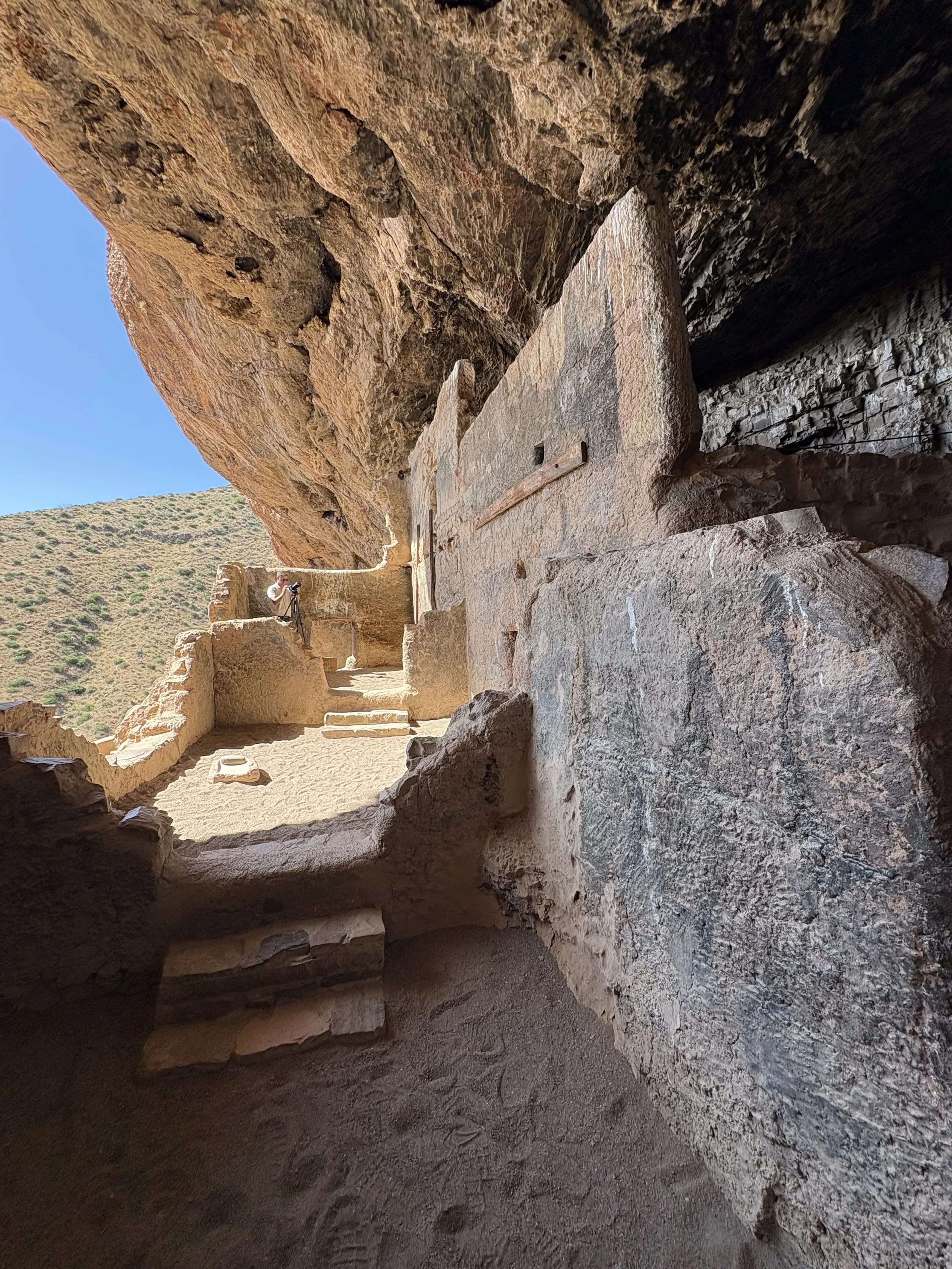
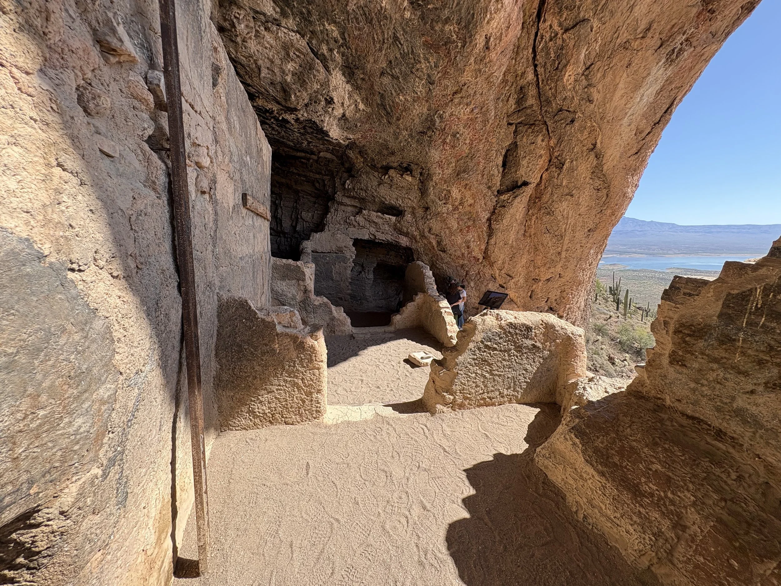
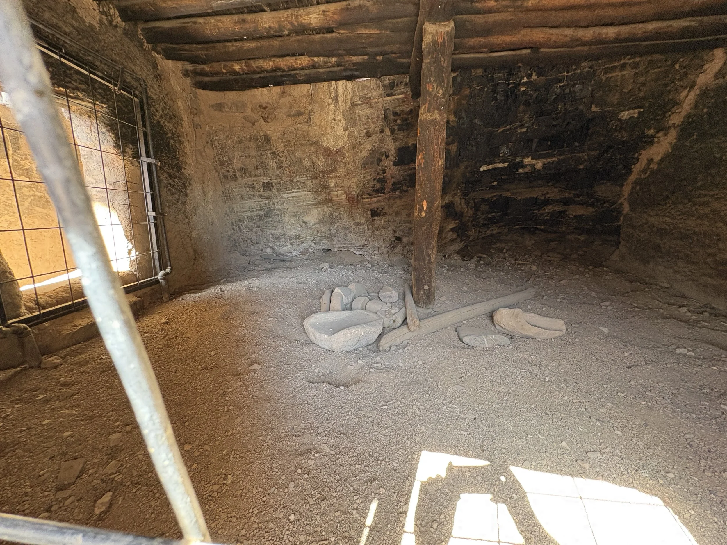
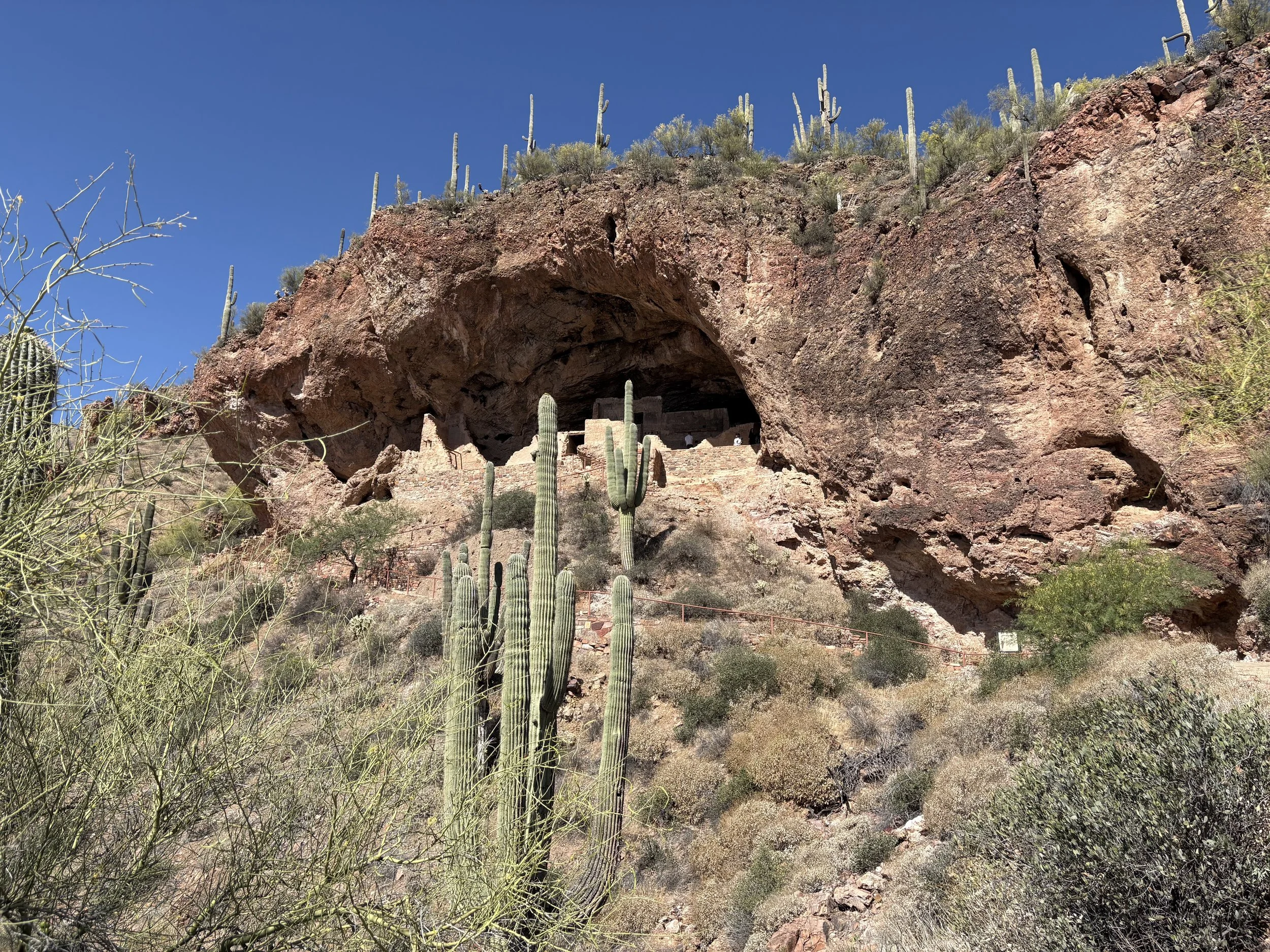
After a day out of the saddle, it was time to jump back on on day 7. I said goodbye to both Larry and Bill (Bill headed to Los Angeles) and headed north to higher elevation. My first stop of the day was at the Tonto National Monument. The site is consisted of two separate cliff dwelling sites which are examples of the Salado ideology. Of the two dwelling sites, only the Lower Dwelling site is open to the public without a guide. The hike up to the lower site is short but quite steep. Some photos of the site are below. I also picked up a couple new birds while at the site (Phainopepla, Cactus Wren, Ash-throated Flycatcher, and the Gila Woodpecker).
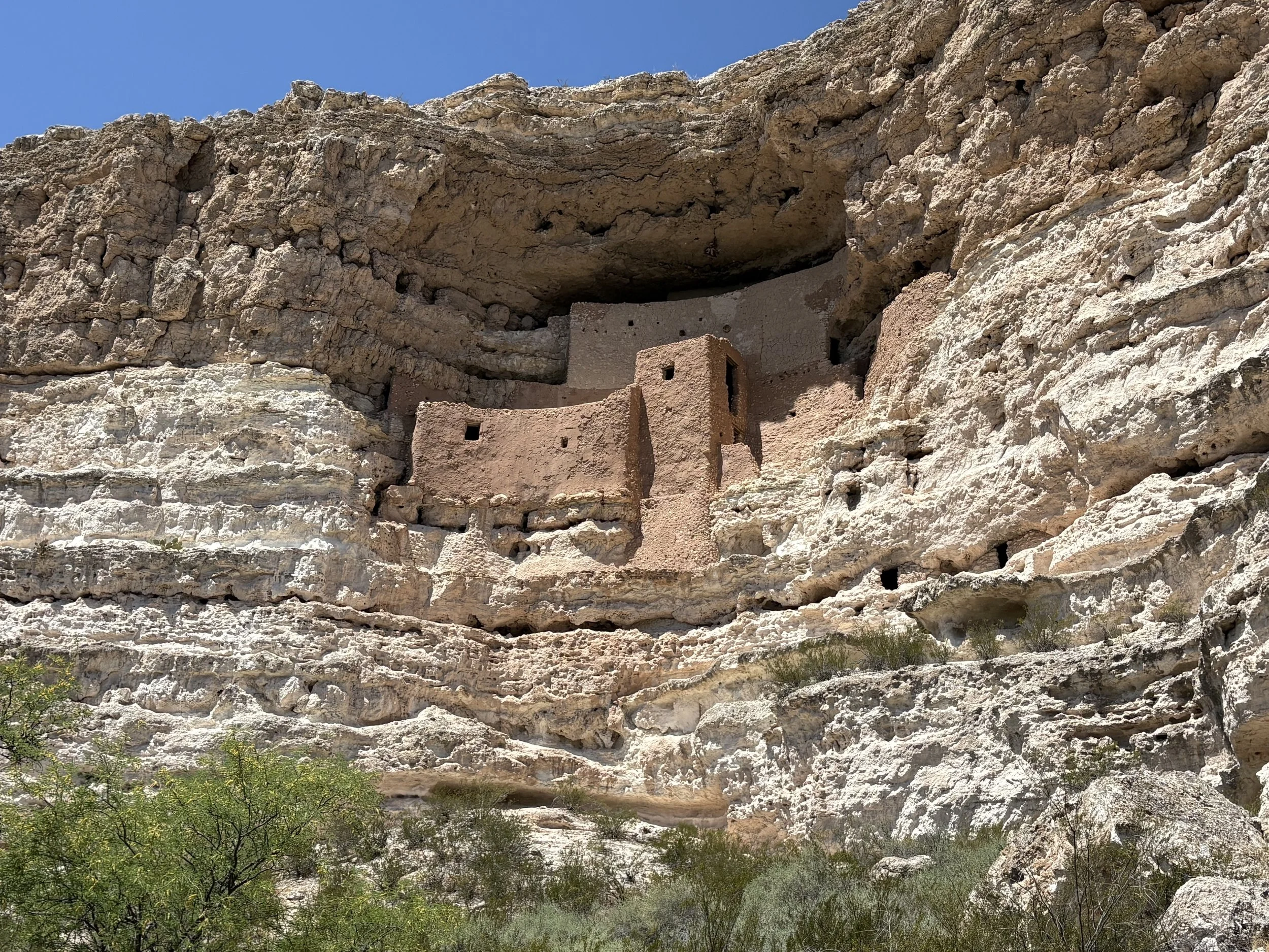
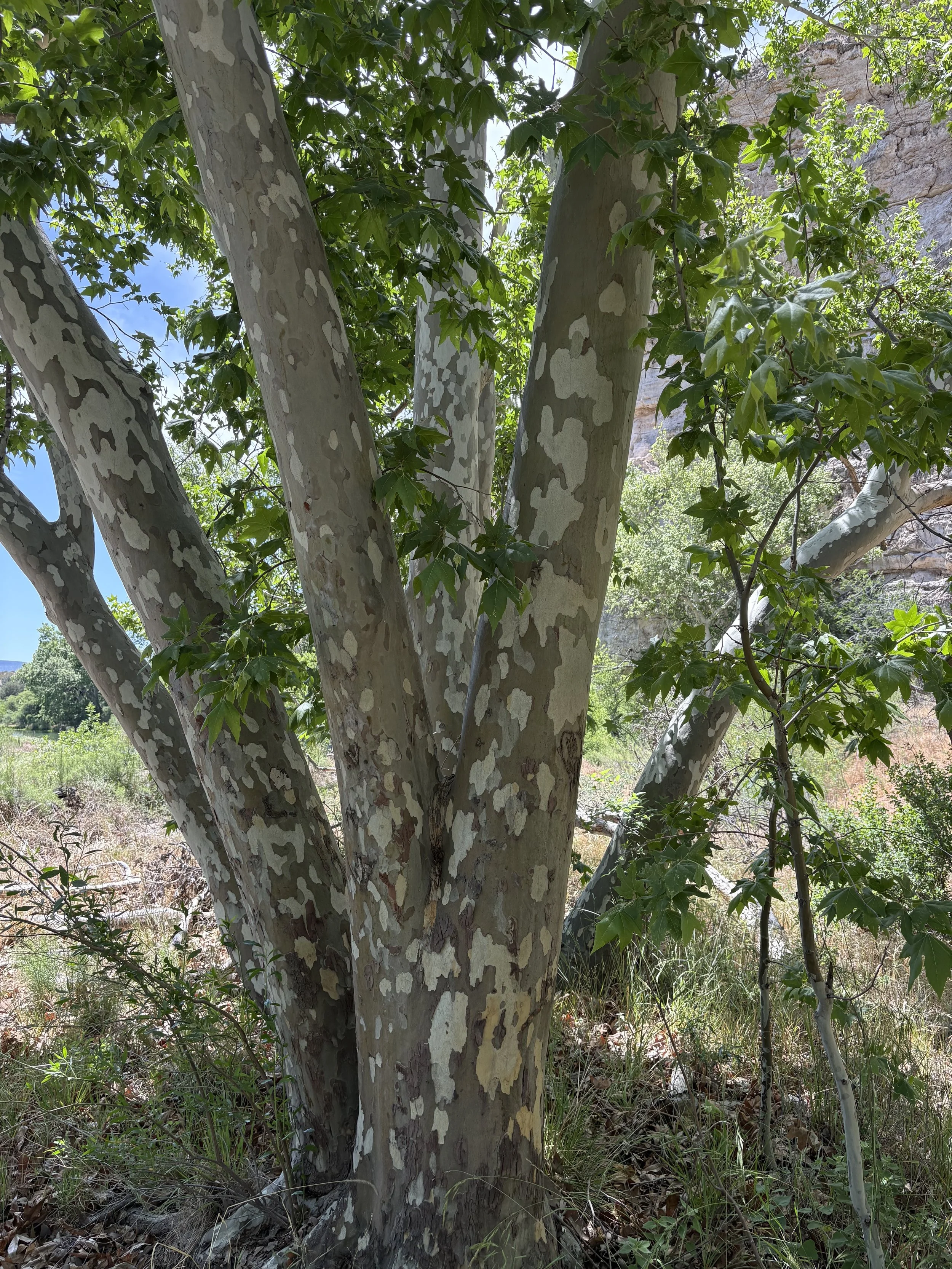
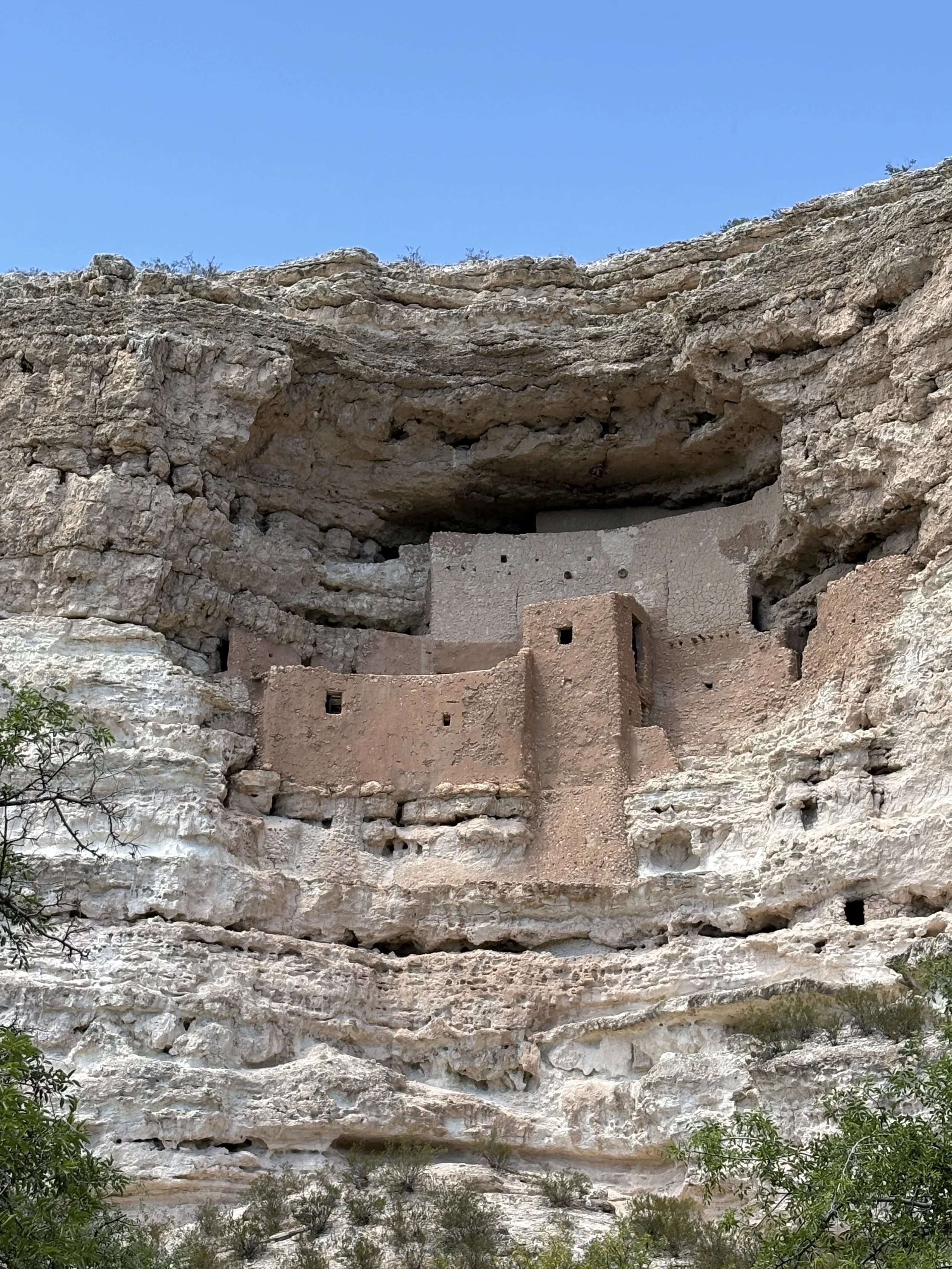
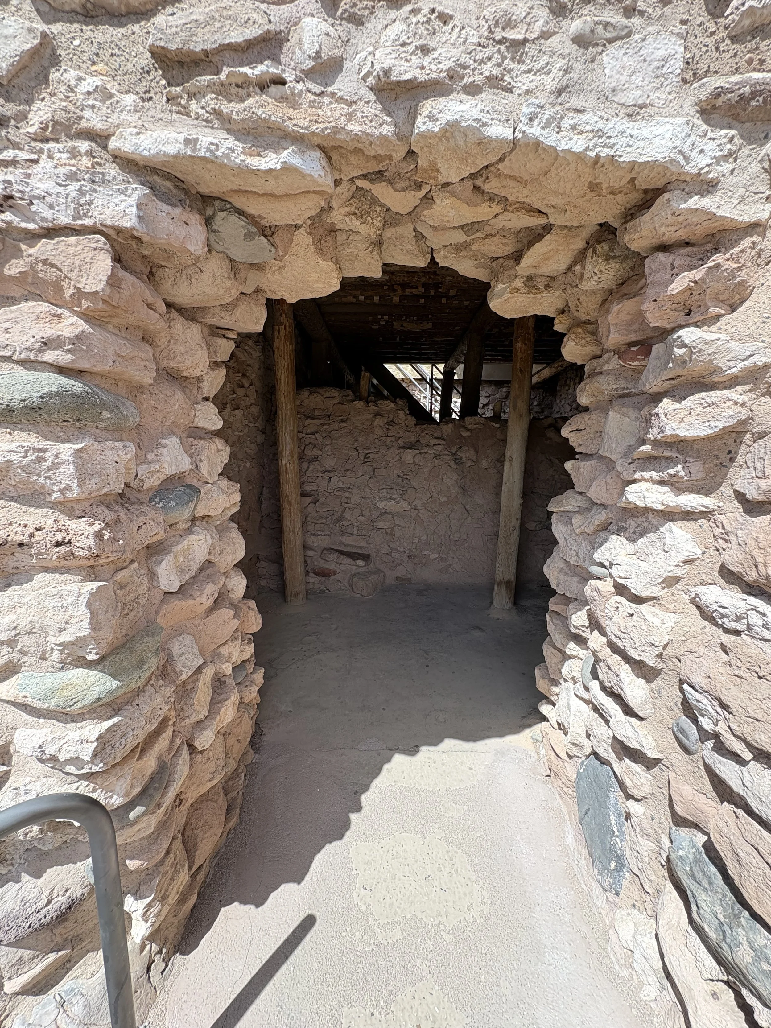
The second stop of the day was Montezuma Castle National Monument. This is an iconic cliff dwelling site that was constructed around 1,150 AD and was occupied until around 1,400 AD. Unfortunately, put probably with good reason, tourists are not allowed to climb up to the structure. There is a short loop trail around the small site. They do have frequent ranger talks with seating that looks up at the structure. Just a couple of photos below.
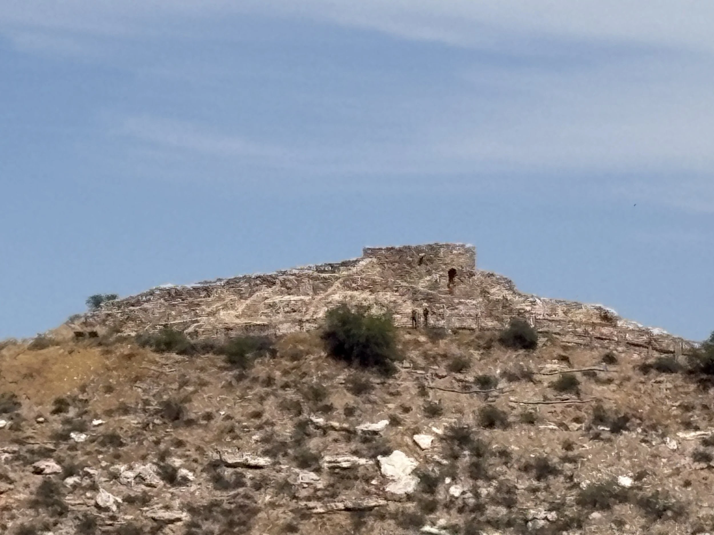
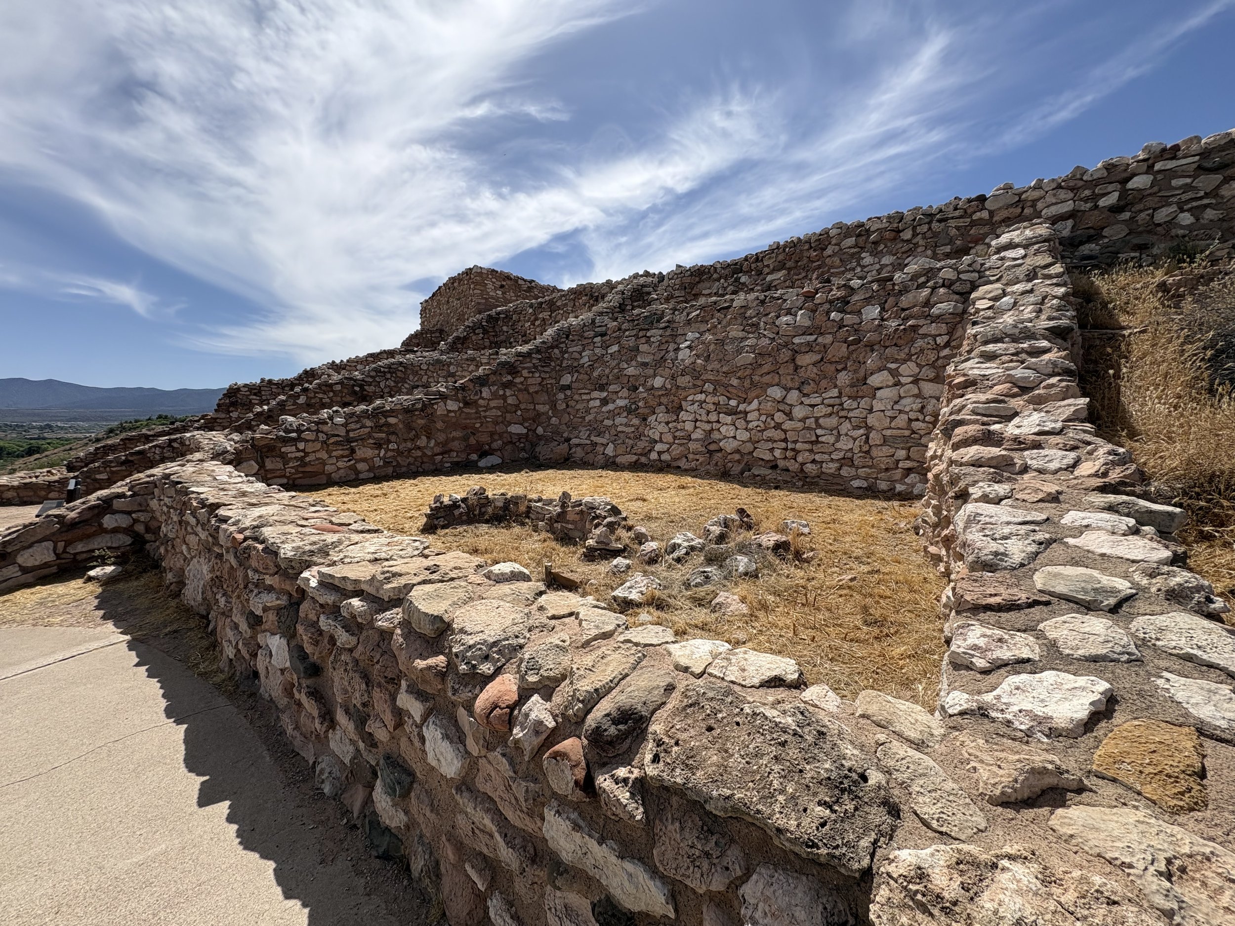
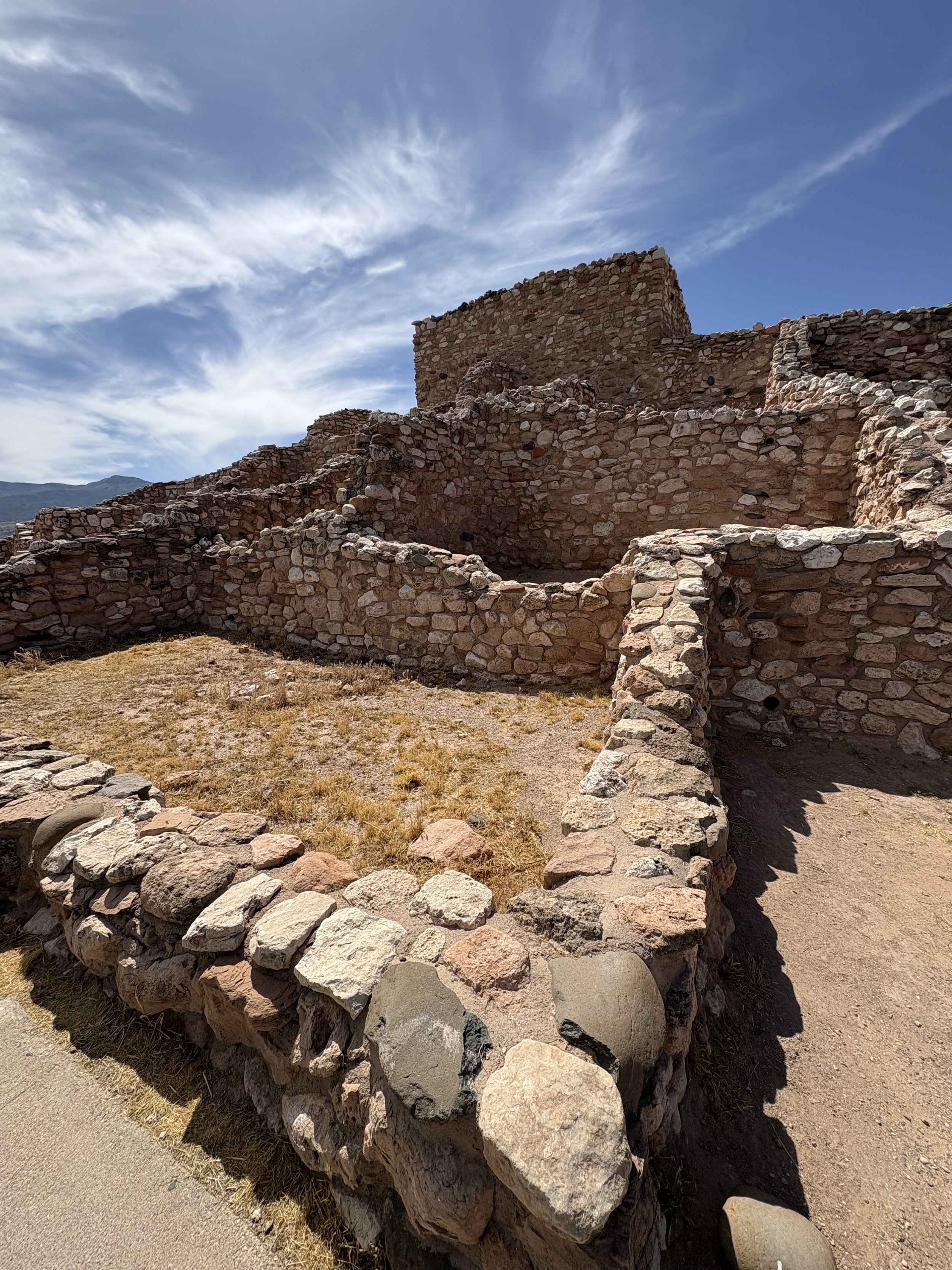
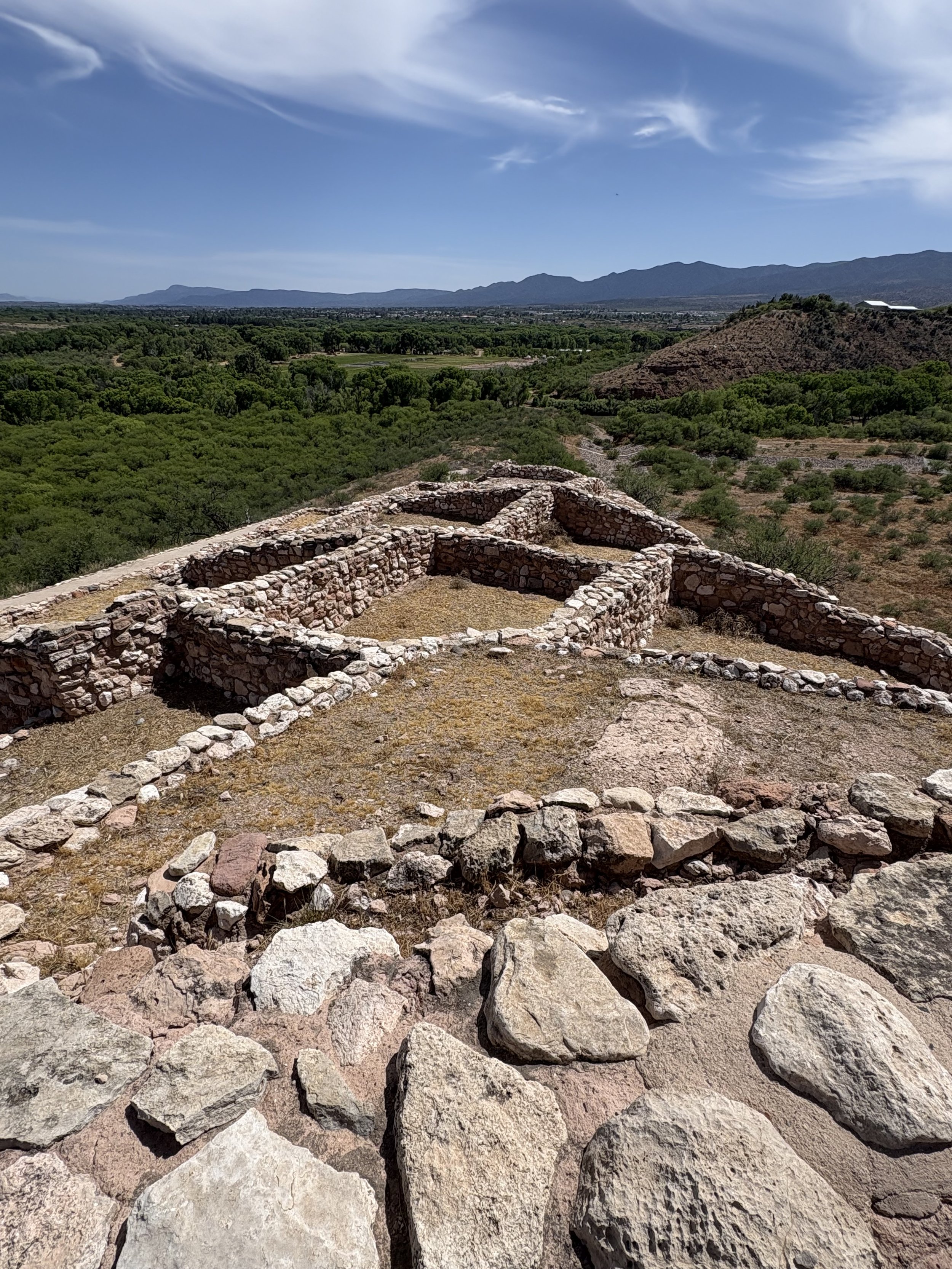
The third and final national monument I visited that day was the Tuzigoot National Monument. This site is composed of a Pueblo located on the top of a hill within the valley floor. You can see quite a distance in any direction. Site construction began in 1,050 AD and the site was occupied until around 1,380 AD. A theme running through many of these sites. Photos below.
My last stop of the day was in Flagstaff where I had dinner with a friend from my days of purgatory in Battle Mountain, Nevada. Both Roger and I were geologists who briefly worked for the Bureau of Land Management (BLM). Roger was suction dredging in Alaska before coming to the BLM and was kind enough to give me a copy of a book that he was featured in by a fellow suction dredger at the time. Fun reading and a great time reminiscing with Roger about our time in Nevada.
The day ended in Winslow, Arizona. I stood on a corner for a while but no girls in flatbed Fords slowed down to take a look at me. An overall excellent day.
Miles covered for the day was 339 with a trip total of 2,180.
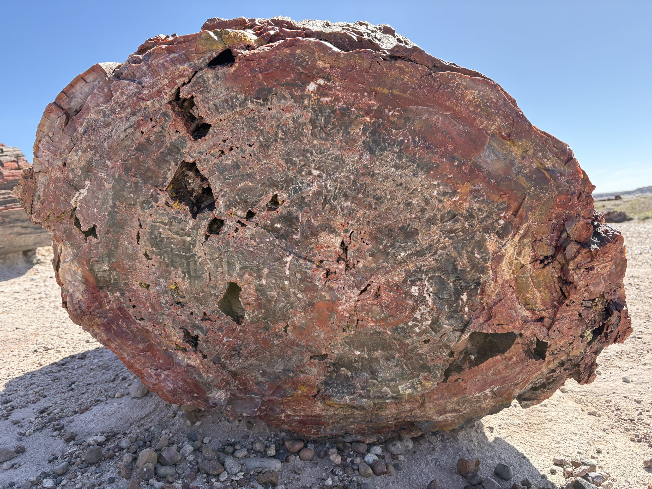
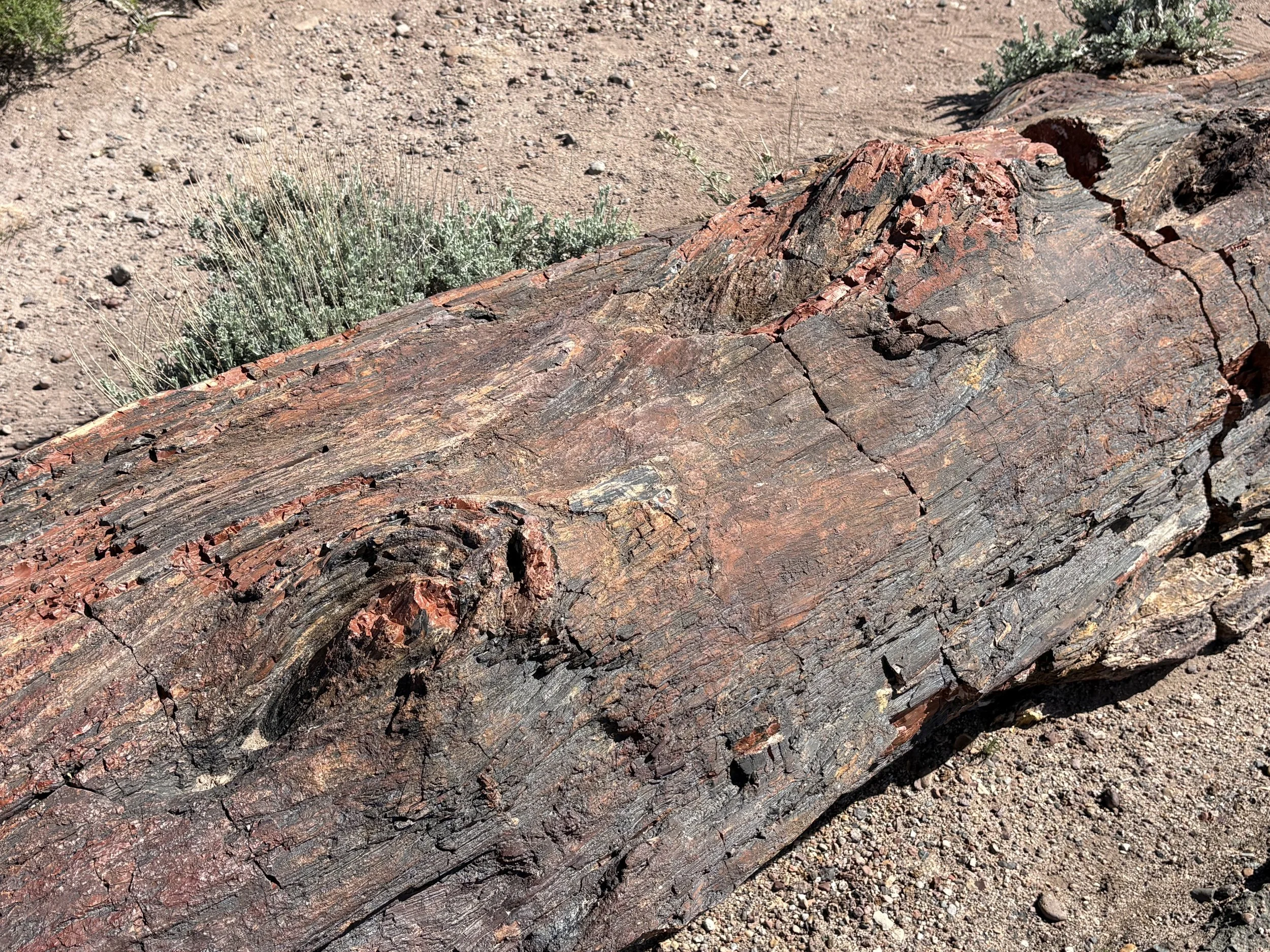
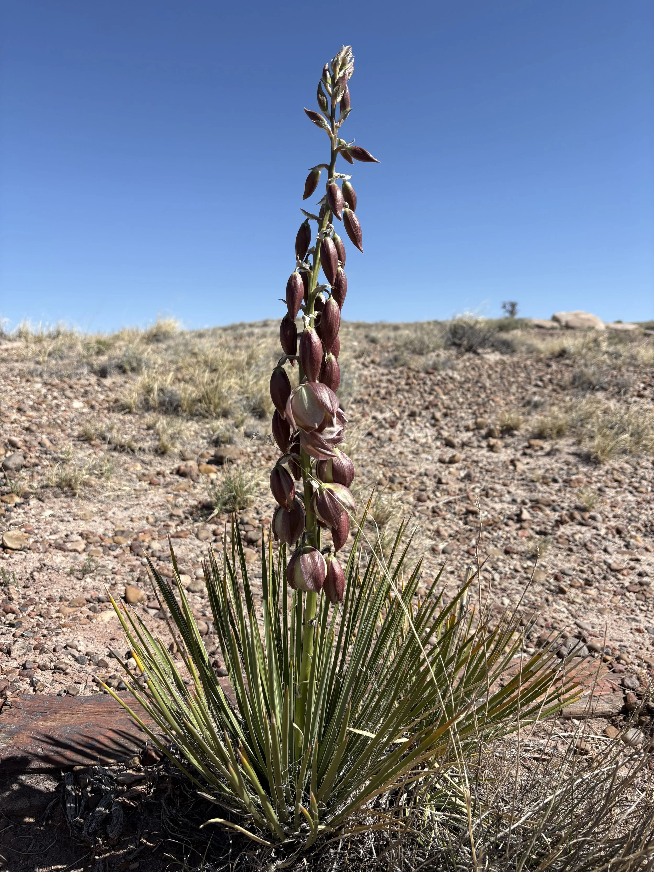
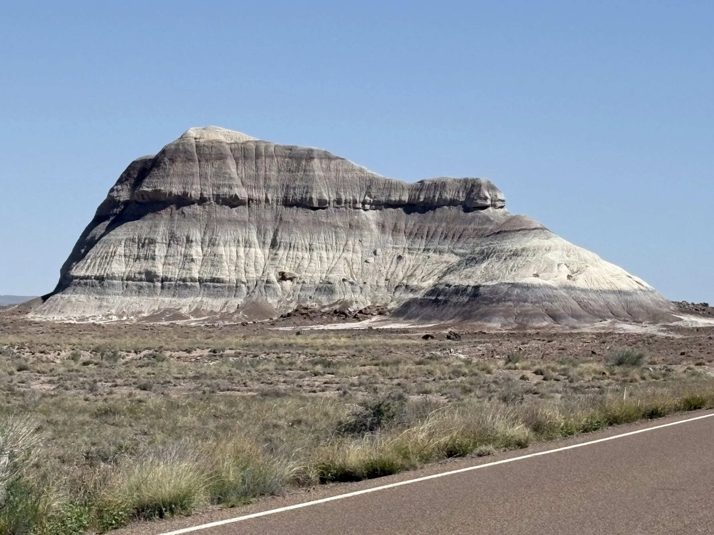
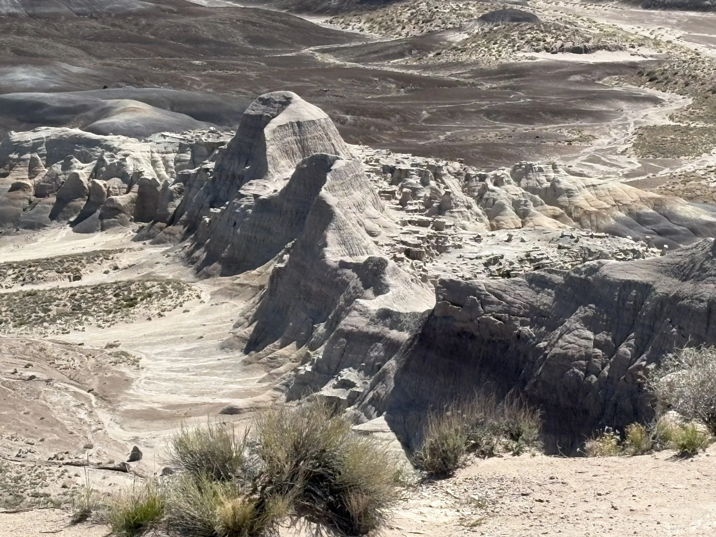
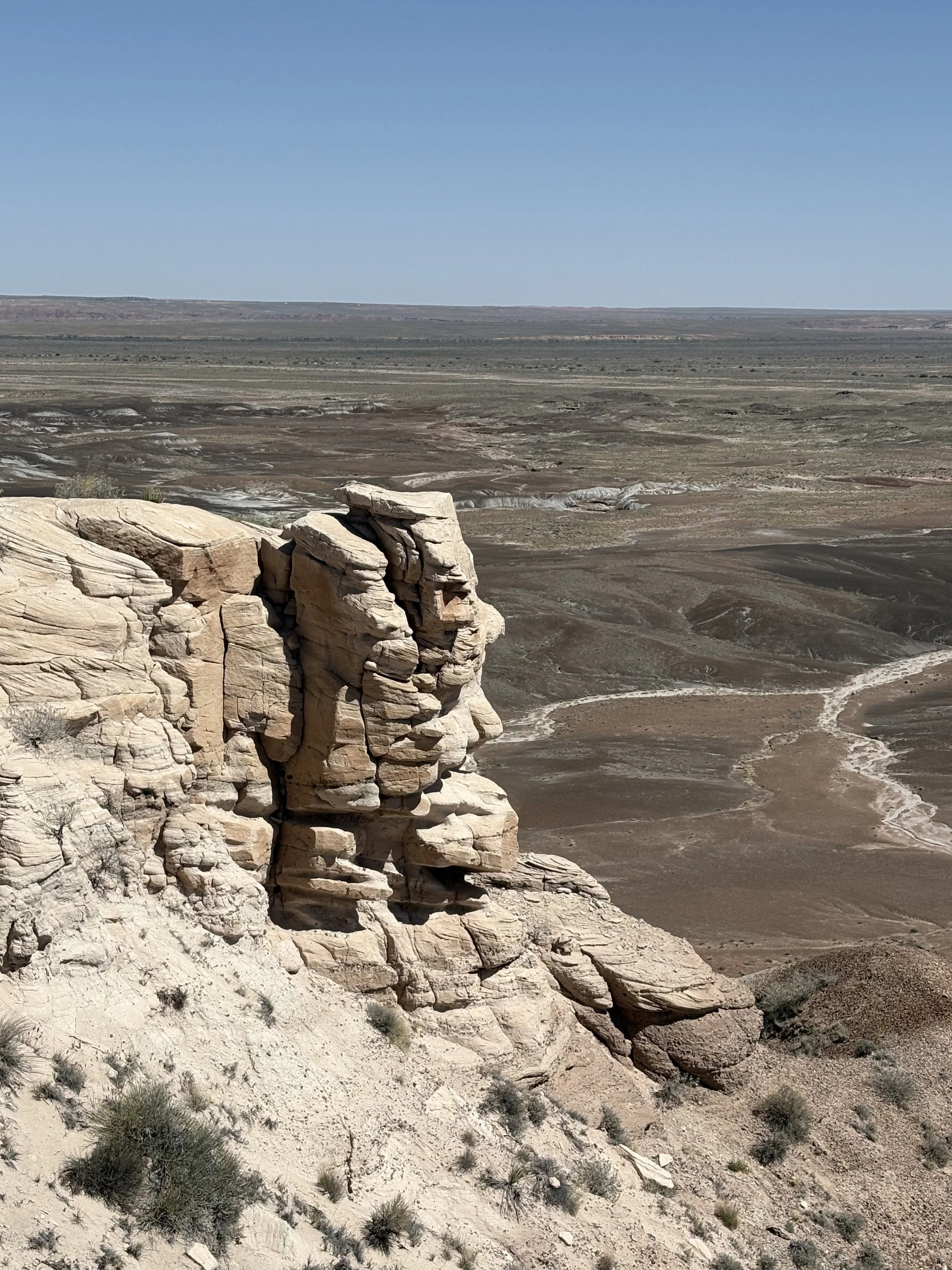
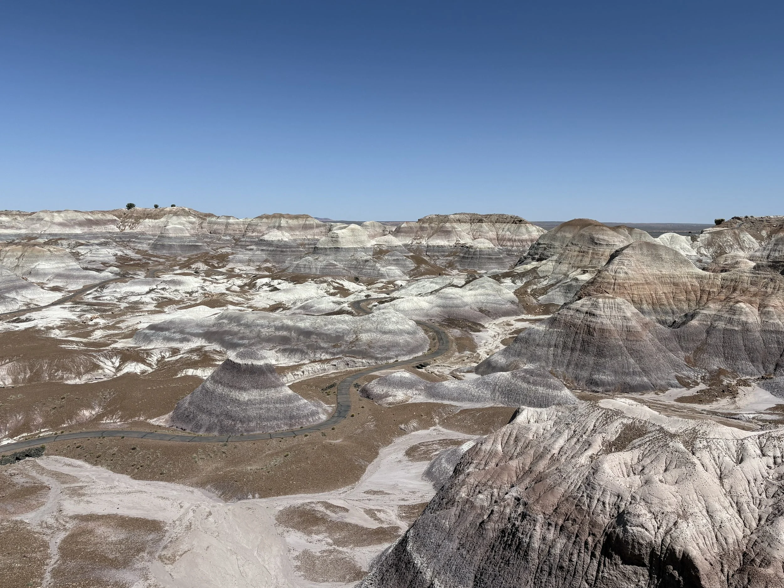
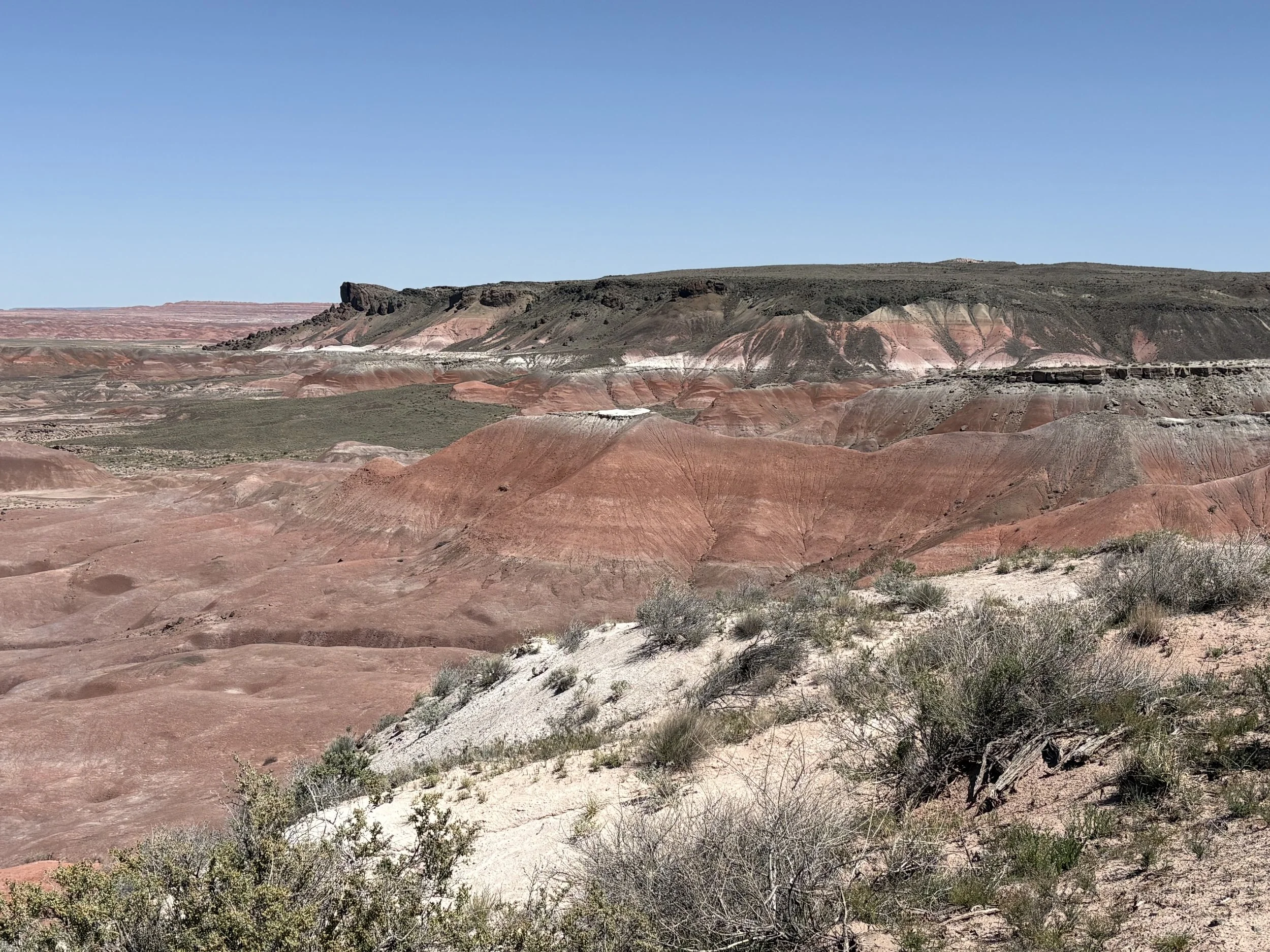
The highlight of day 8 was a couple of hours in Petrified Forest National Park. The park is quite large and is an interesting mix of petrified/fossilized trees, colorful stratigraphy, and open country. And a solitary antelope. I entered the park from the south entrance and exited from the north entrance.

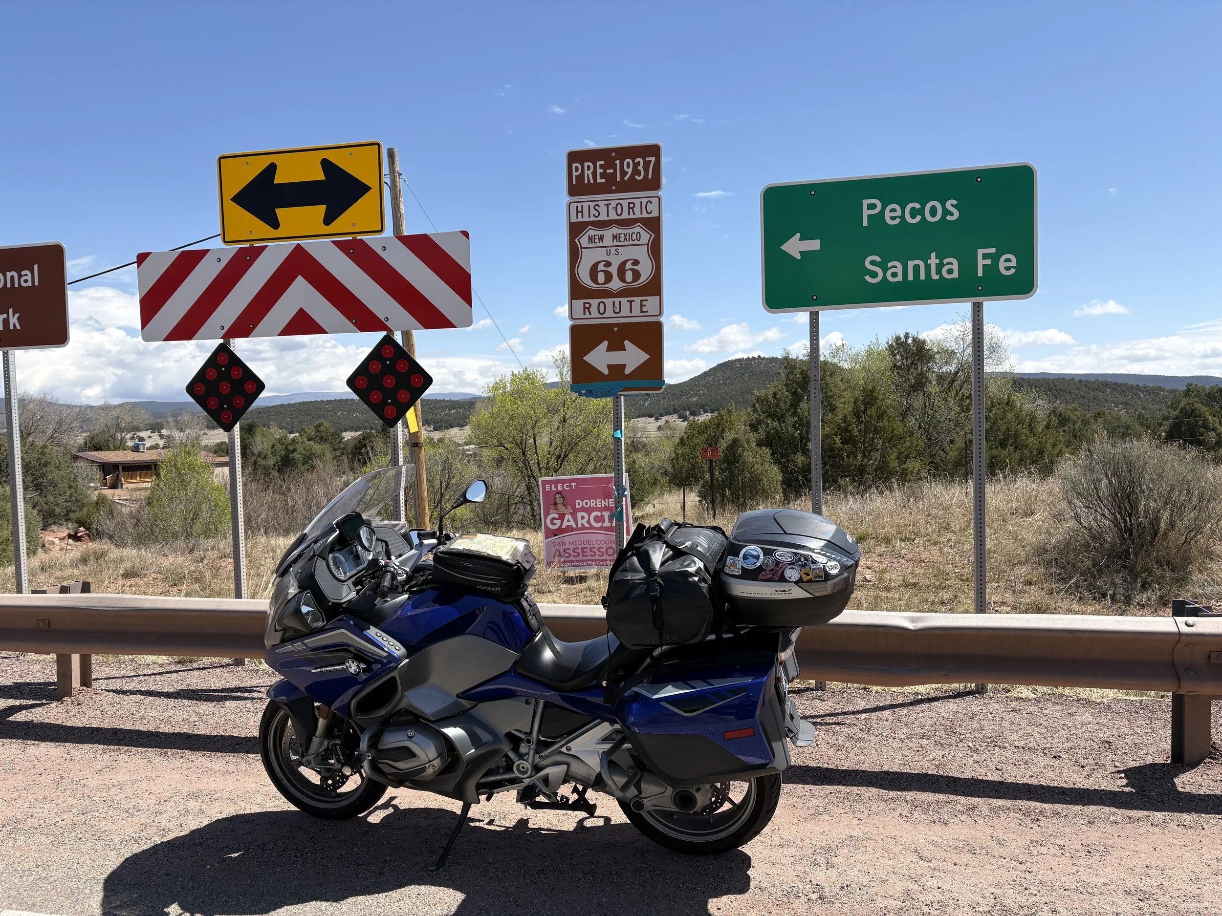
I wrapped up the day in Santa Fe, NM with 408 miles under my belt (2,588 total). Unfortunately, many of those miles were on I-40 which is not terribly interesting and loaded with semi traffic. It didn’t help that I made the day longer than necessary by heading to the town of Pecos assuming, incorrectly, that there would be lodging in the area.
I got a bit of a late start on day 9 as I waited for the AAA shop to open. The intent was to pick up some maps of Oklahoma and Kansas. Ultimately, I became bored before the store opened and resolved to count on my GPS instead.
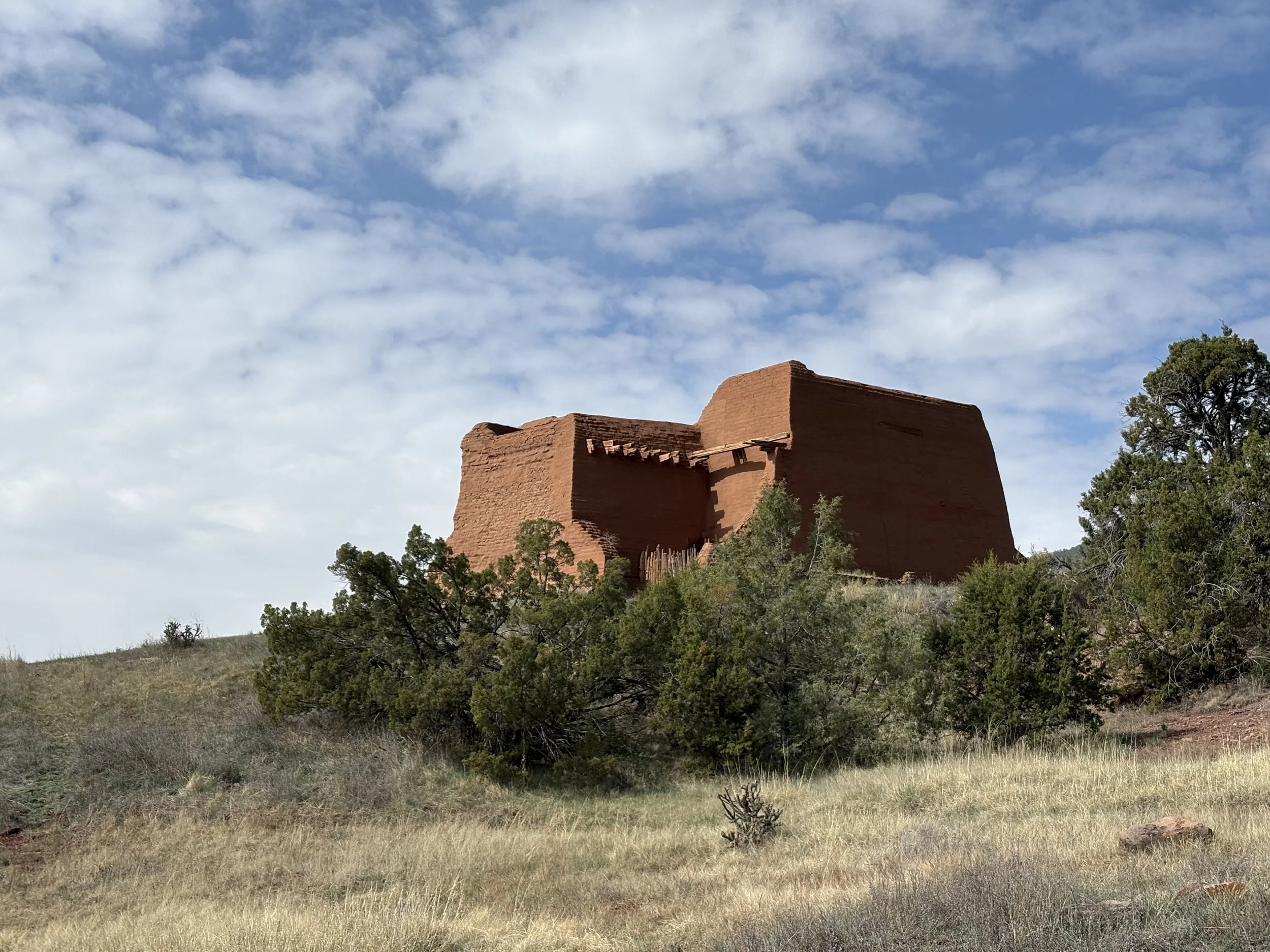
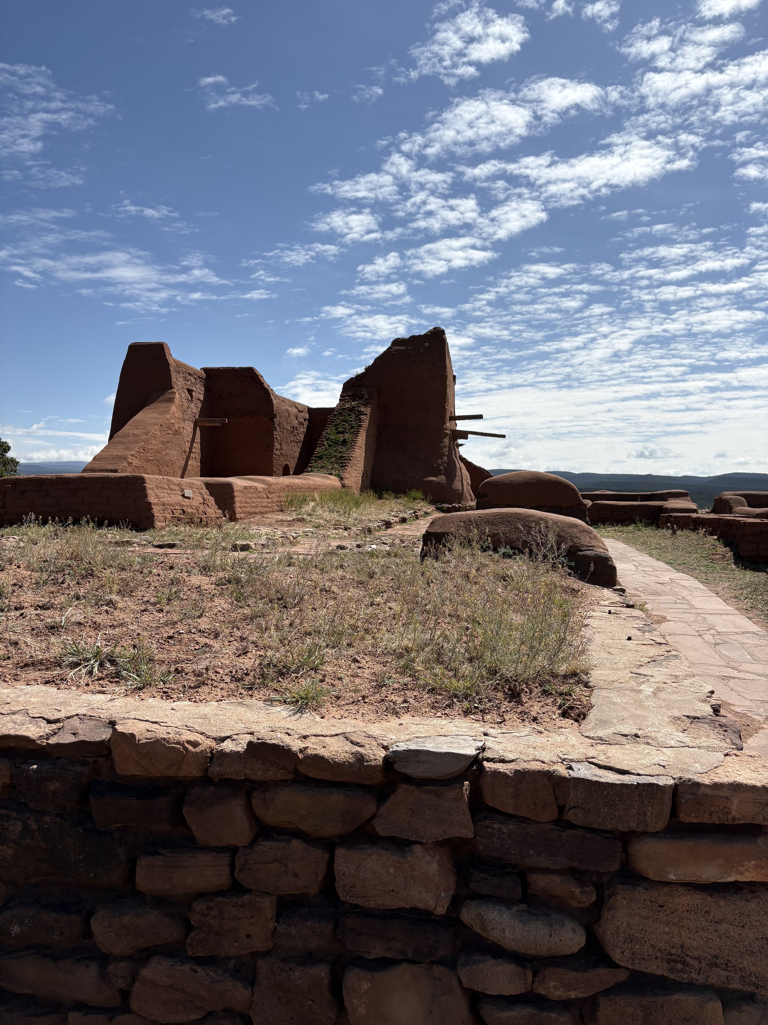
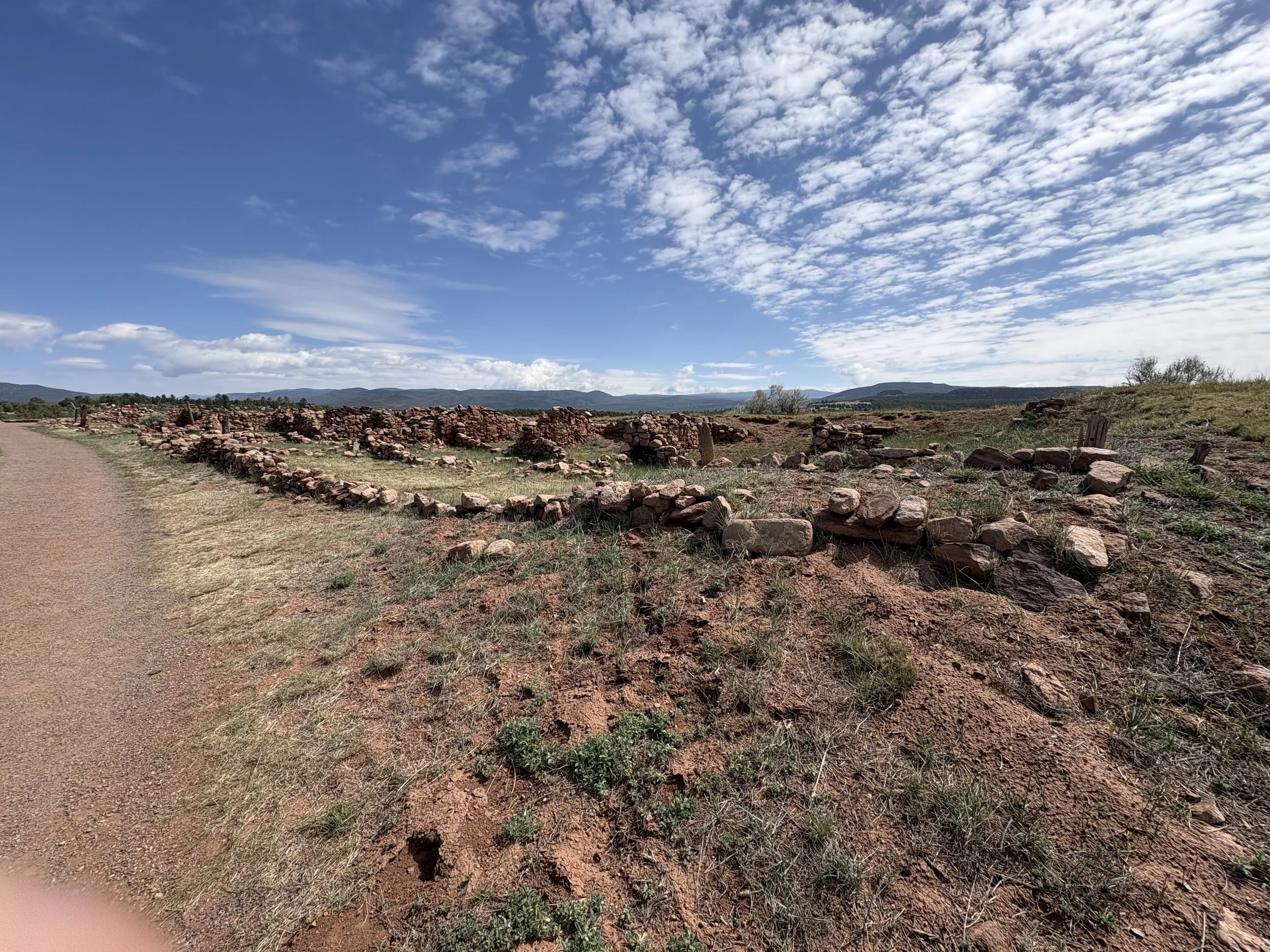
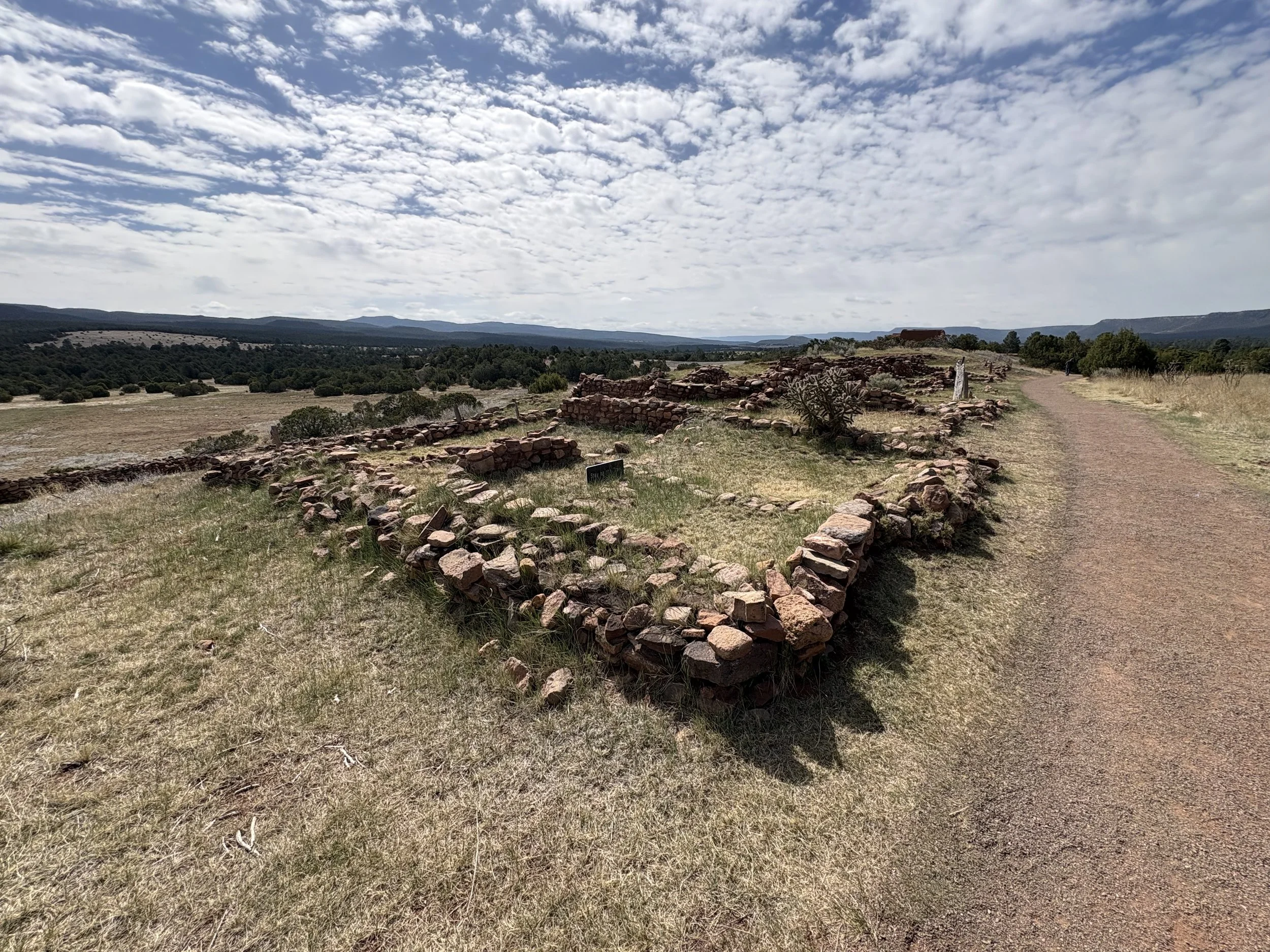
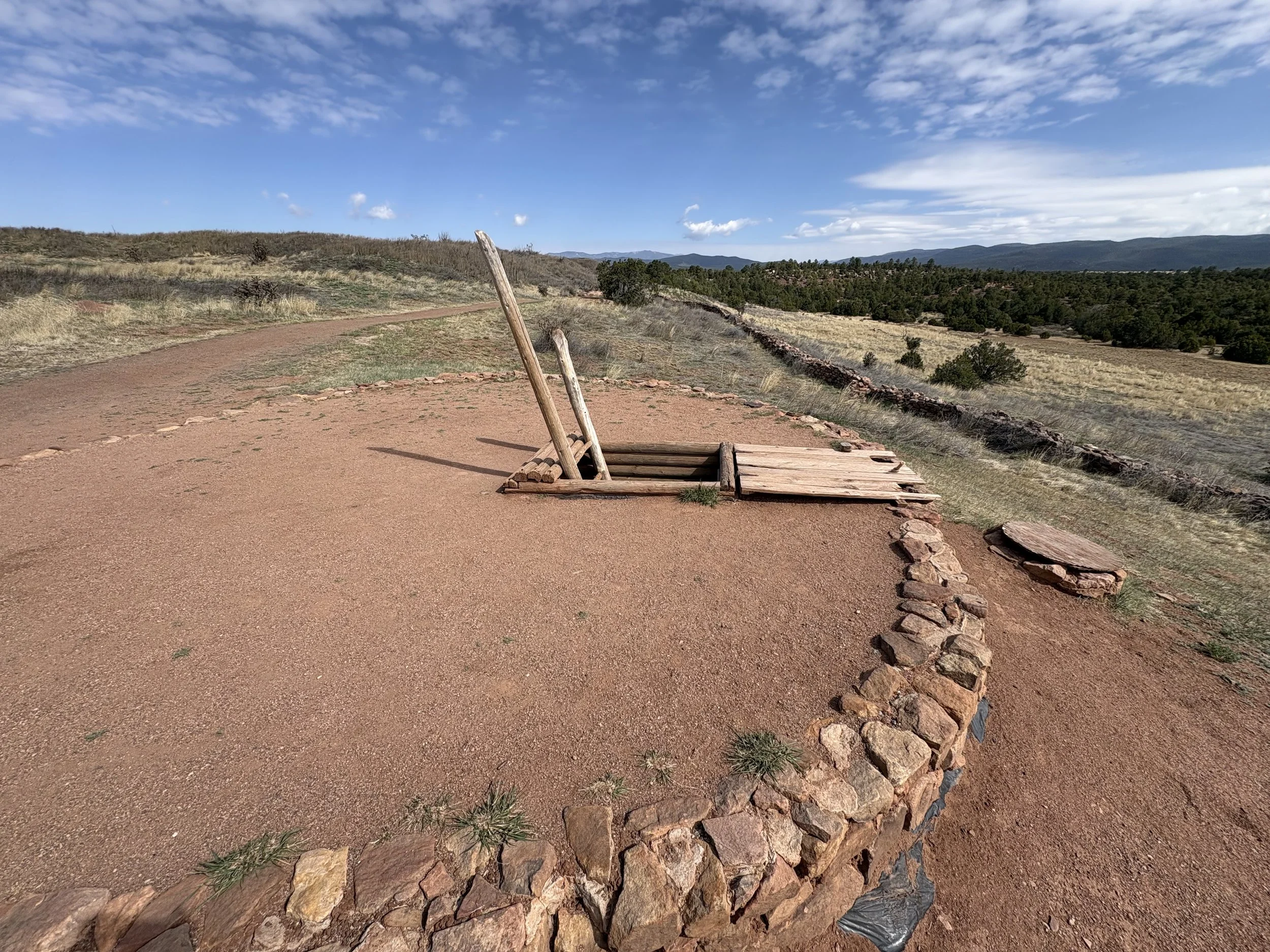
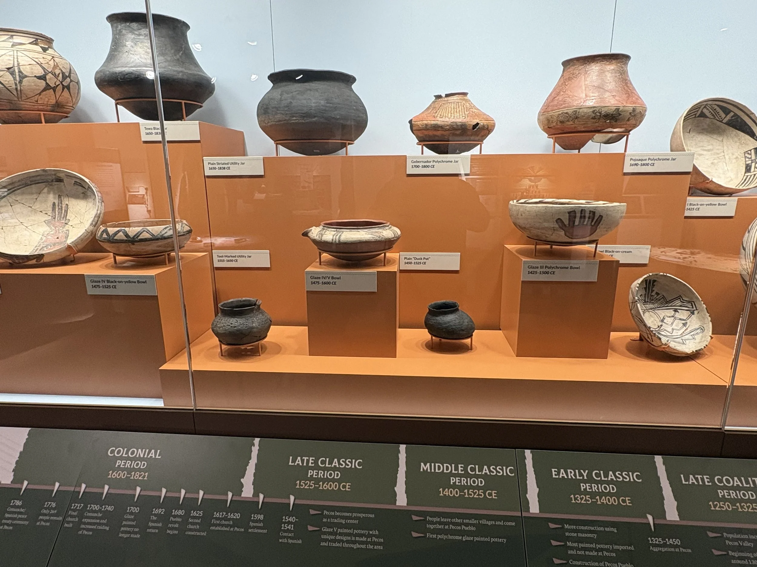
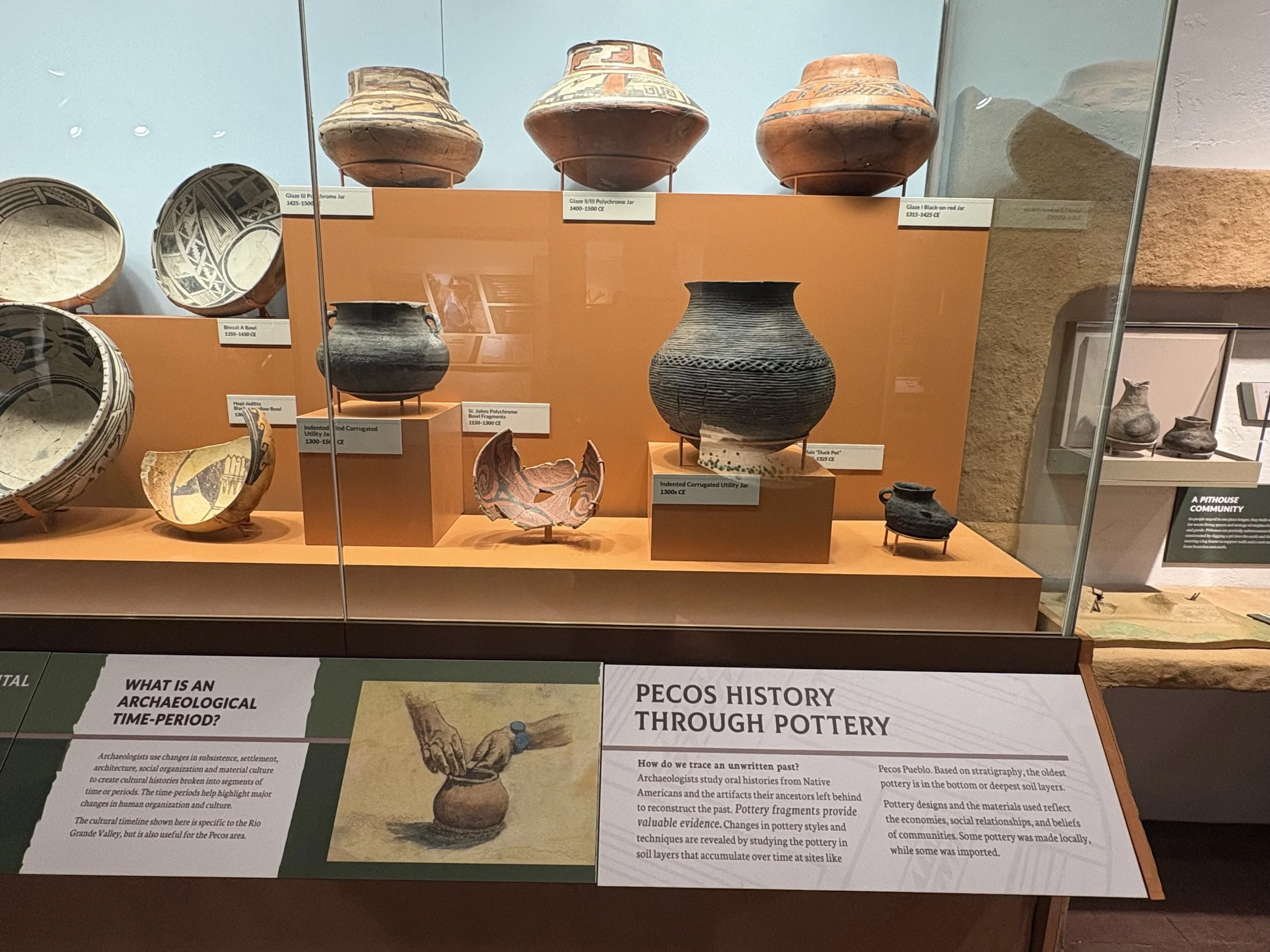
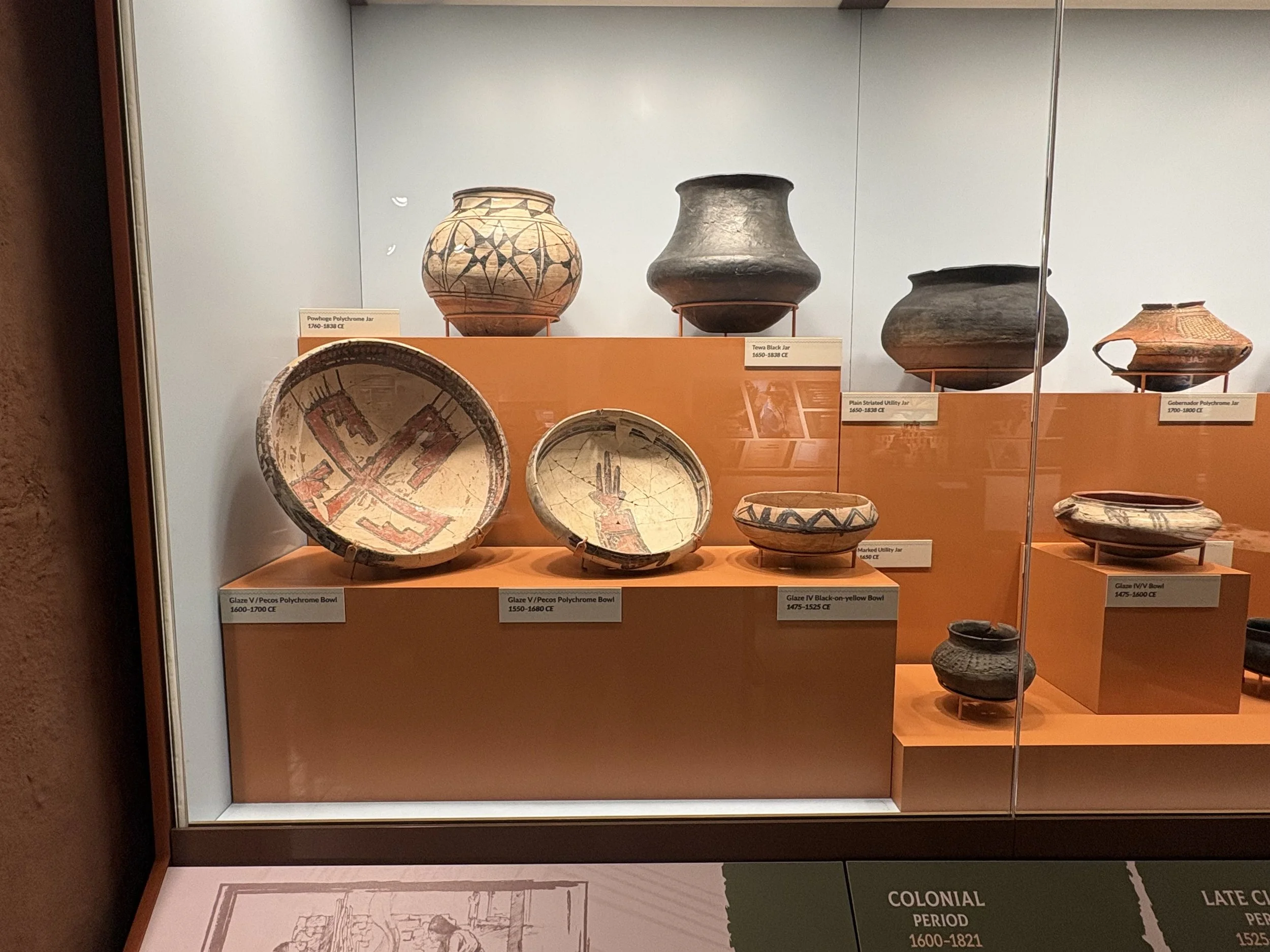
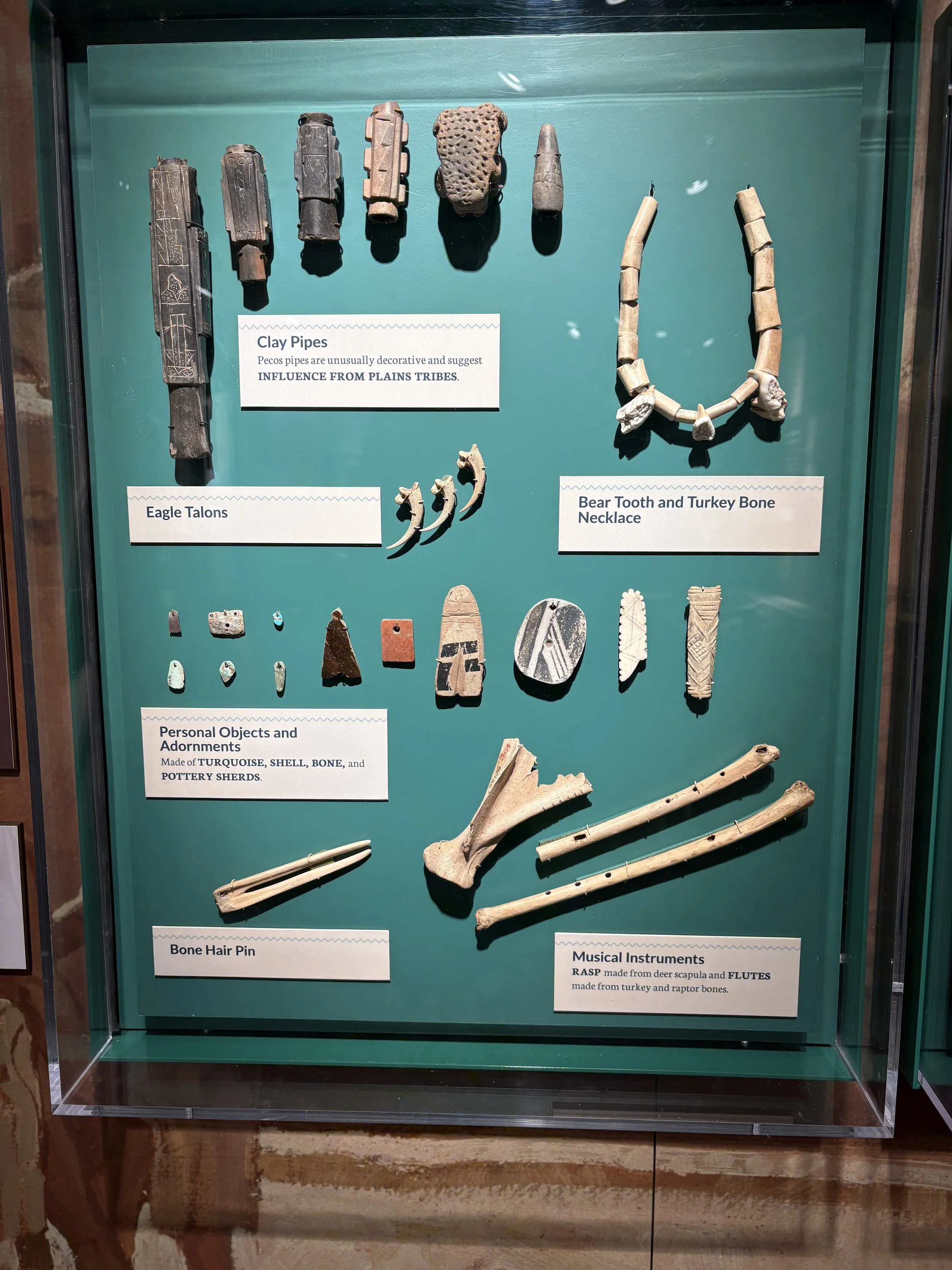
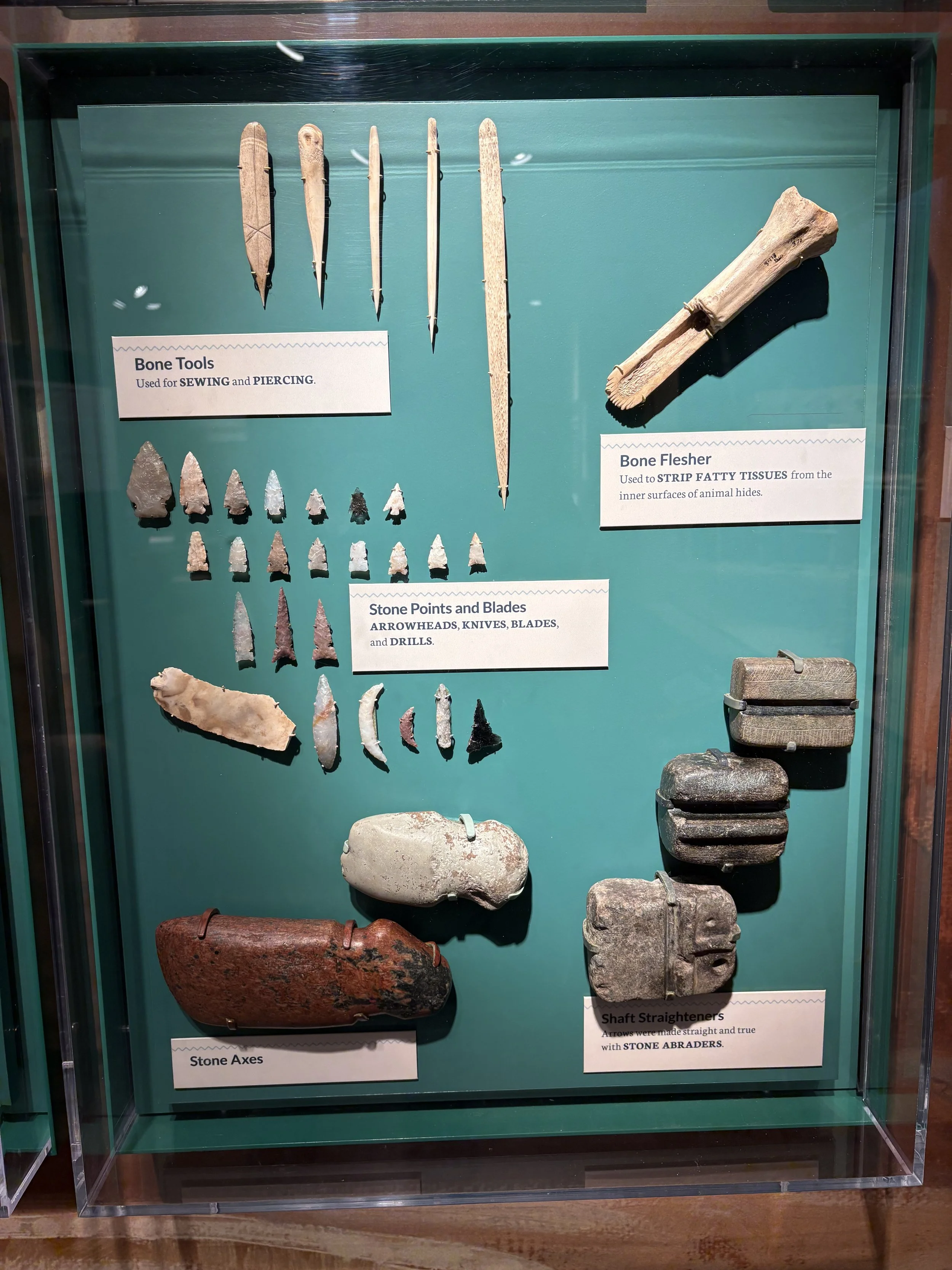
My first (and only) stop of the day was at the Pecos National Historic Park. This is a fantastic site consisting of the remains of a large pueblo and a Spanish mission church. The pueblo at its peak was home to over 2,000 inhabitants. The mission remains are actually the remains of the second mission. The initial mission was much larger but was destroyed in a coordinated rebellion by the ancestral Pueblo peoples. This was a much larger pueblo than the one at Tuzigoot National Monument but the pueblo has largely collapsed. The site also has a great visitor center.
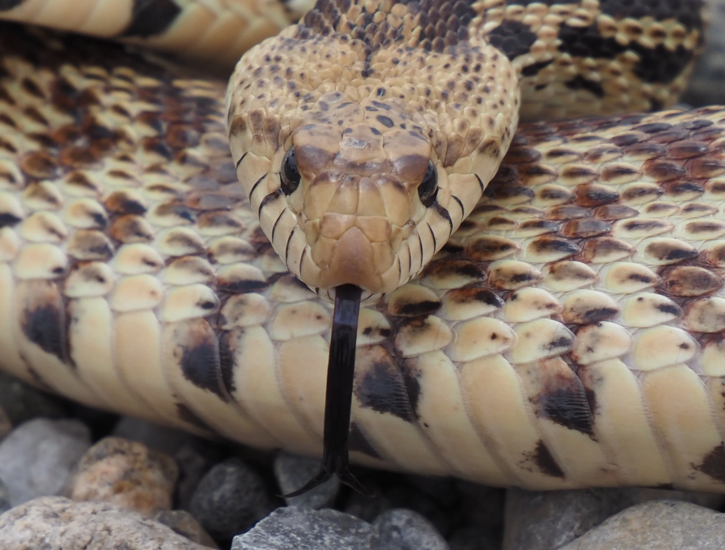
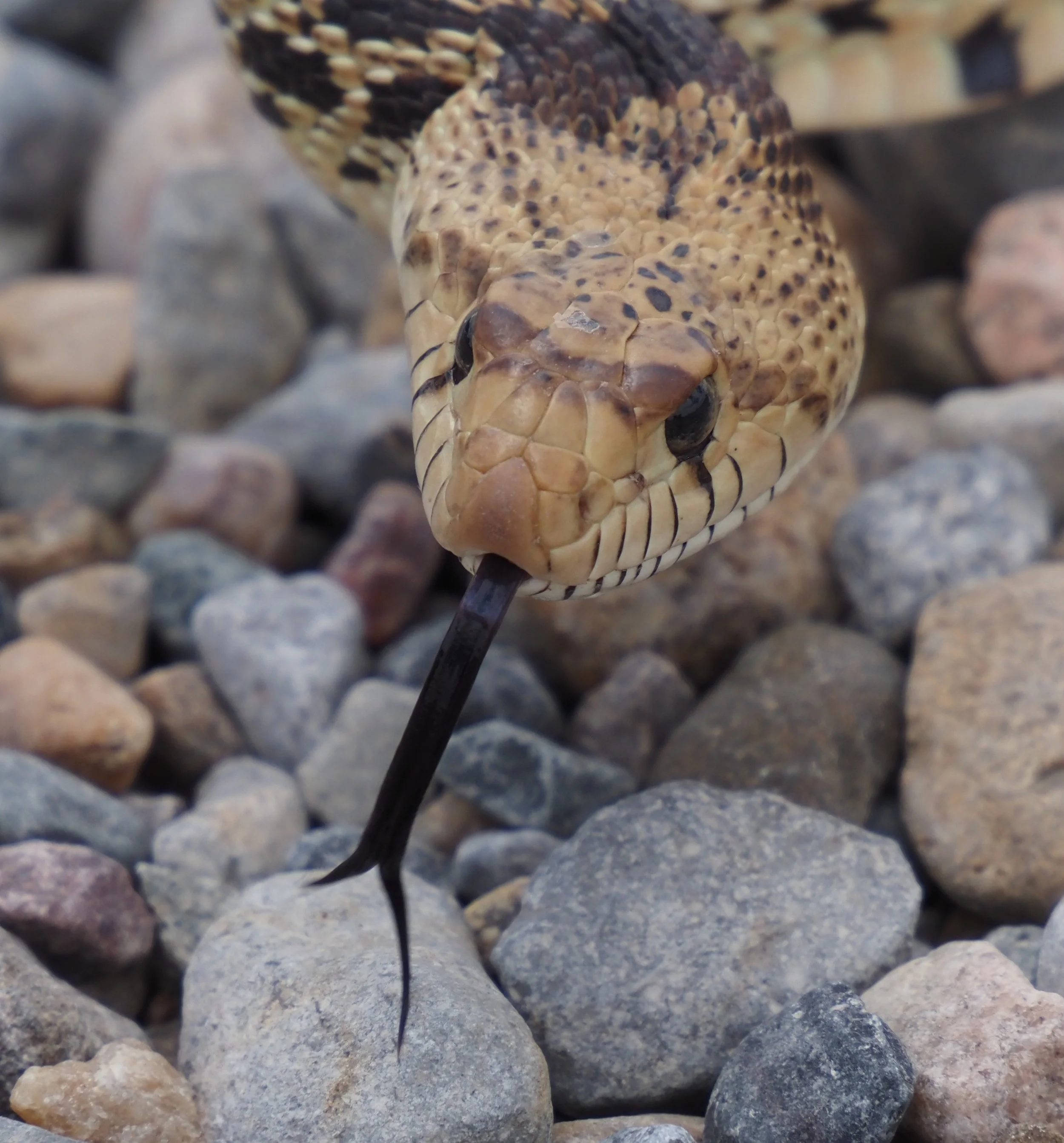
The plan was to head to the Fort Union National Monument following the Pecos site. Two things convinced me to change my plans: 1. I was taking longer than I wanted to get to Wisconsin and 2. It was starting to rain to the west. Given that, I decided to head north east to try and out run the rain – with limited success. I did manage to sneak in a quick visit to a national wildlife refuge and almost ran over a pull snake on the way back to the highway. I’ve also been on and off of historic highway 66.
The day finished in Boise City, Oklahoma. 281 miles and 2,870 so far.
The remainder of the ride took me through southwest Oklahoma, much of Kansas, a section across Missouri, and northern Illinois before heading to Eau Claire, Wisconsin. The trip didn’t include any more cool sites but did include visits to some cool people – my cousins Leslie and Jill, my aunt Pete, and good friends Jim and Kim.
The total mileage for the trip was 4,252 miles. May be time for an oil change before I ride home in the late summer!