Unfortunate Chapters in US History
Awakened at 5 AM to the loud, rhythmic call of a Scaled Quail perched on the fire ring grate at my camp site. I wasn’t amused by the wakeup call and it wasn’t amused when I came out of my tent. But, to be fair, the early start was put to good use. Site was packed up and I was on the road and heading east by 6:30 AM.
First stop was a nutritious and delicious breakfast and McDonalds. Crashed the local old man coffee club and discussed the attributes of various motorcycles. Not sure I agree with the consensus at the table that the Honda Goldwing isn’t a great bike. Snuck out after only one cup of coffee.
The Amache National Historic Site near Granada, CO was my second stop of the day. This was one of the ten “relocation” sites built to incarcerate Japanese Americans during World War II. The site housed around 7,300 internees and was the tenth largest city in Colorado at the time (1943-1945). A limited number of buildings are present on site – a barracks building, a guard tower, a recreational hall, and a water tower. All have been reconstructed with only the water tower including some original components. There is also a memorial at the cemetery that was constructed after the war was over. The site is quite large and a driving tour was easy enough with the motorcycle. A number of descriptive panels are located at various points of interest throughout the site.
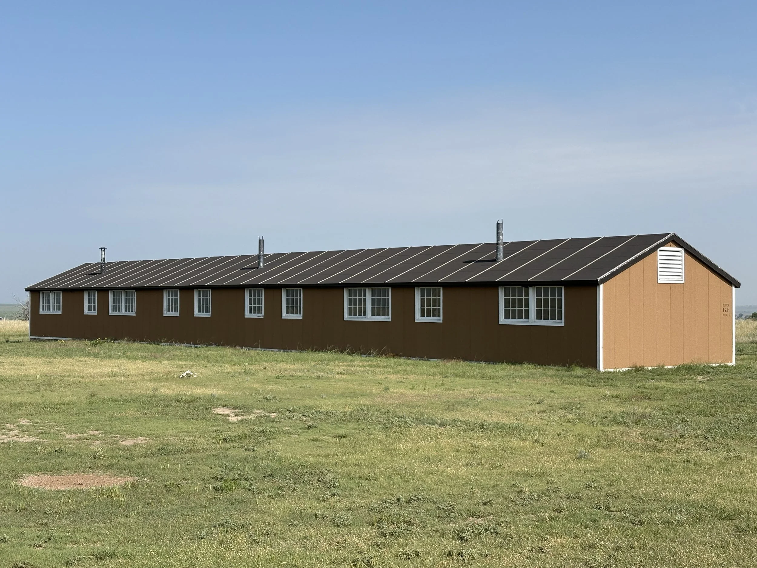
Barracks

Guard Tower

25,000 gallon water tower fed from 200,000 gallon underground water tank. Gravity feed throughout site.
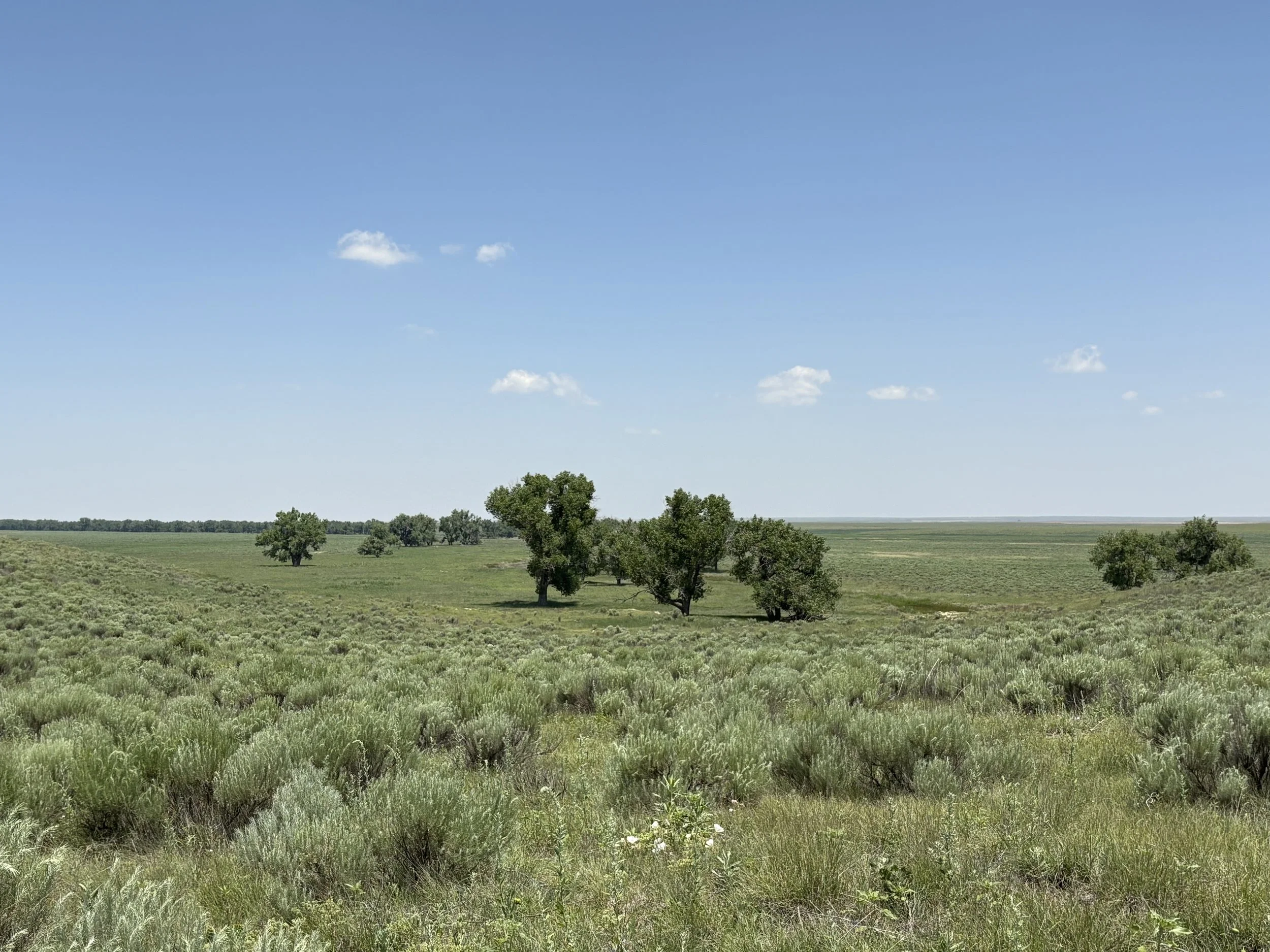
The large, largely empty site did harbor a lot of wildlife – birds as well as rabbits and at least one deer. Birds present that I could identify included Northern Bobwhite, Blue Grosbeak, Western Meadowlark, Mourning Dove, Killdeer, American Robin, Eurasian Collared-Dove, Western Kingbird, and Northern Mockingbird. The Northern Bobwhite and Blue Grosbeak were new to me. The Merlin app also picked up a Red-headed Woodpecker but I couldn’t spot it.
Northern Bobwhite
Blue Grosbeak
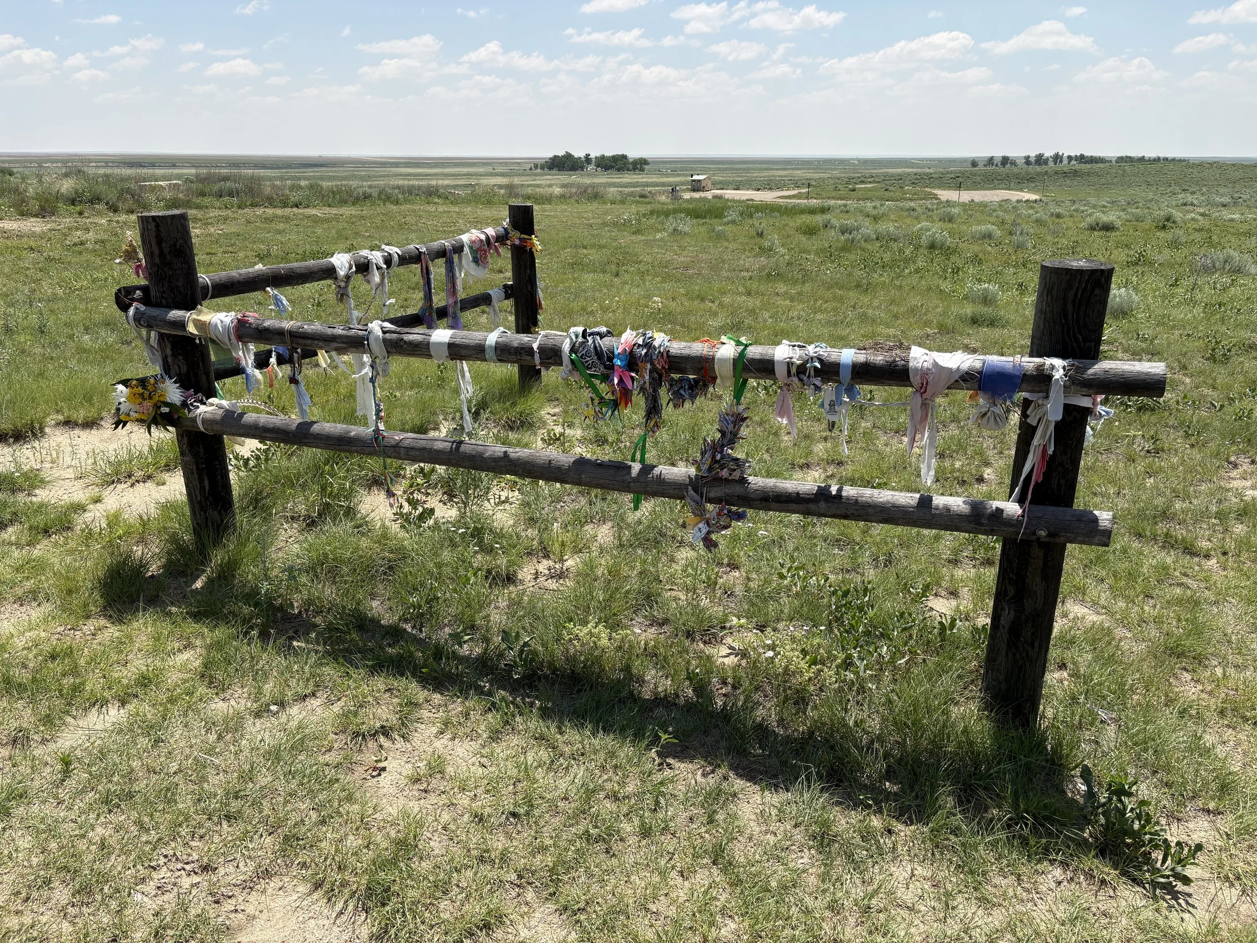
Next stop for the day was the Sand Creek Massacre National Historic Site. The site is located north of the tiny town of Chivington and is accessed by about 8 miles of dirt road. The road was very well maintained for the most part but is likely really nasty after a few days of rain. Got a good look at a Burrowing Owl sitting on a fence post on the way to the site but it was camera shy.
The site has a small visitors center, a nice treed sitting/picnic area, a trail from the visitor center to the memorial site, and a trail along the bluff overlooking the massacre site. There are no structures, memorials, etc. on the actual massacre site for obvious reasons. The walks are relatively short and includes a number of interpretive signs. There is no shade however so be sure to bring sun protection (some of us may not have and are likely going to peel).
The blurb from the National Park Service app is:
“On November 29th, 1864, Chiefs Black Kettle, White Antelope, Left Hand and others were encamped with around 750 Arapaho and Cheyenne people in a valley by the Big Sandy Creek. A hope for peace, brought forth by Black Kettle was in the balance. It was a tragic day where the blood of the Cheyenne and Arapaho was shed, and a painful memory for generations of Native Americans was made.”.
Feels like a bit of an understatement. Of the roughly 750 Cheyenne and Arapaho camped at the site, around 150 of them were killed and most were subsequently mutilated. Of those 150, roughly 100 were women and children. Probably the saddest part of this story is that the small town south of the site is named after the Colonel that led the massacre.
Site of the roughly 156 Cheyenne and Arapaho tipis/lodges.
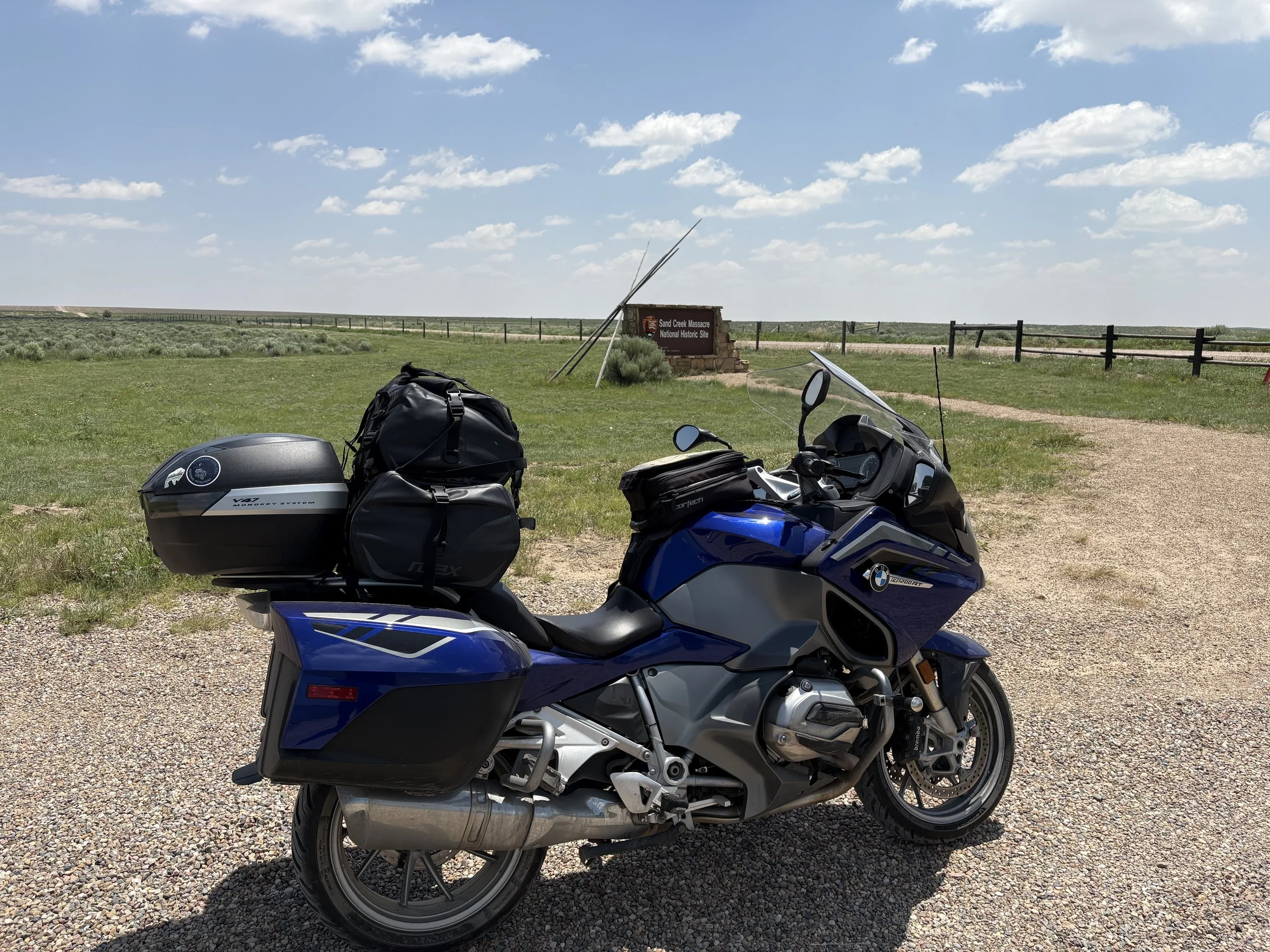
Workhorse at the site.
On a happier note, I was once again able to check a couple more birds off of my list – the Lark Sparrow (L) and the Horned Lark (R).


After the site, a quick stop in Eads, CO to buy some sunscreen and then off to La Junta, CO for the night.